What is recorded here
In an area overgrown with briars and bushes within a coniferous forest on a SE-facing slope. An oval mound (c. 12m NE-SW; c. 8m NW-SE; H 0.8m) of heat-shattered stones and charcoal-enriched soil was encountered when preparing the ground for tree planting. The mound is fenced off with wooden stakes and a strand of twine.
The above description is derived from 'The Archaeological Inventory of County Cork. Volume 5' (Dublin: Stationery Office, 2009).
Date of upload: 22 December 2009
Burnt mound, likely dating to the Neolithic or early Bronze Age. Such features are often associated with ritual or industrial activities, though their exact function remains debated.
The monument record does not grant public access. Check the route and ask the landowner before entering private land.
- What survives
- Recorded monument
Places near here
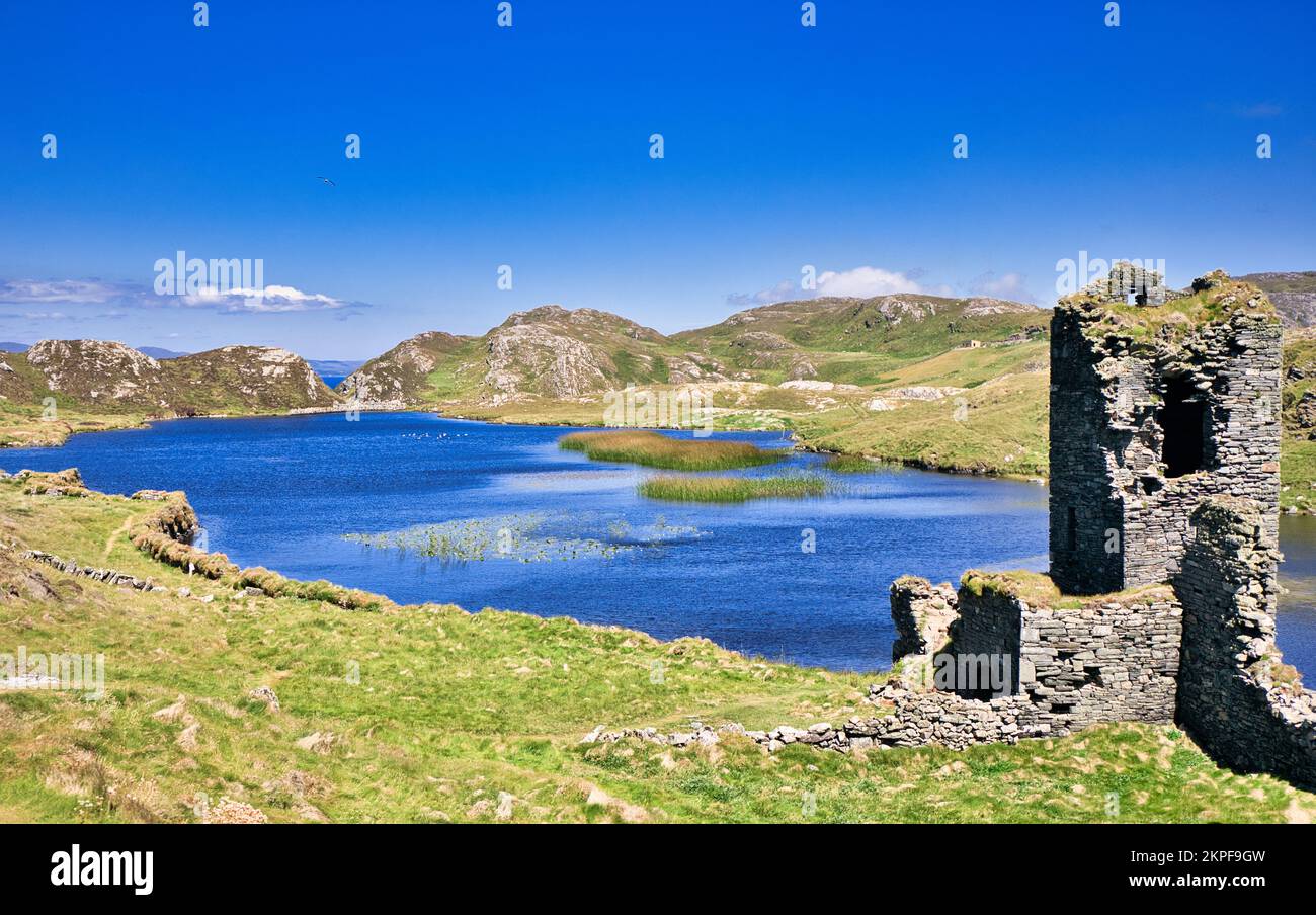 Fulacht FianFulacht fia · 332 yd
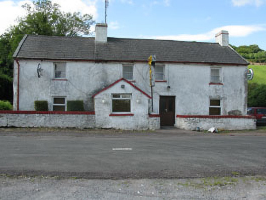 Horan's Barhouse · 1230 yd
 CrossnalannivBurial ground · 1331 yd
 Upper Forrestcountry house · 1445 yd
 Castlemore CastleCastle · 1690 yd
 Pedunculate OakPedunculate Oak · 1.0 mi
 Sunday's WellSpring · 1.6 mi
 Clodah CastleCastle · 2.2 mi
 Quarry WoodWood · 2.7 mi
 Carrigadrohid CastleHeritage attraction · 3.0 mi
 Carrigadrohid Castle InfoVisitor information · 3.0 mi
 Independence MuseumMuseum · 3.4 mi