What is recorded here
Discovered in the course of ground preparation works for forestry in 2011. Situated in the NW corner of a small field on a roughly S-facing slope, immediately contiguous to a drain which appears historically to have been a natural stream or gully. The mound measures c. 8m N-S x 7m E-W, and is 0.3m in maximum H rising slightly above the surrounding ground level. (pers. comm. E. Byrnes)
Compiled by: Paul Walsh
Date of upload: 19 January 2012
Burnt mound in Dunmahon is a Bronze Age ritual or industrial site, characterized by the presence of heat-shattered stones, likely used for water heating or ceremonial purposes. Its discovery provides insight into early land use and domestic or ritual activities in a rural landscape.
The monument record does not grant public access. Check the route and ask the landowner before entering private land.
- What survives
- Recorded monument
Places near here
 IndicatedEcclesiastical enclosure · 456 yd
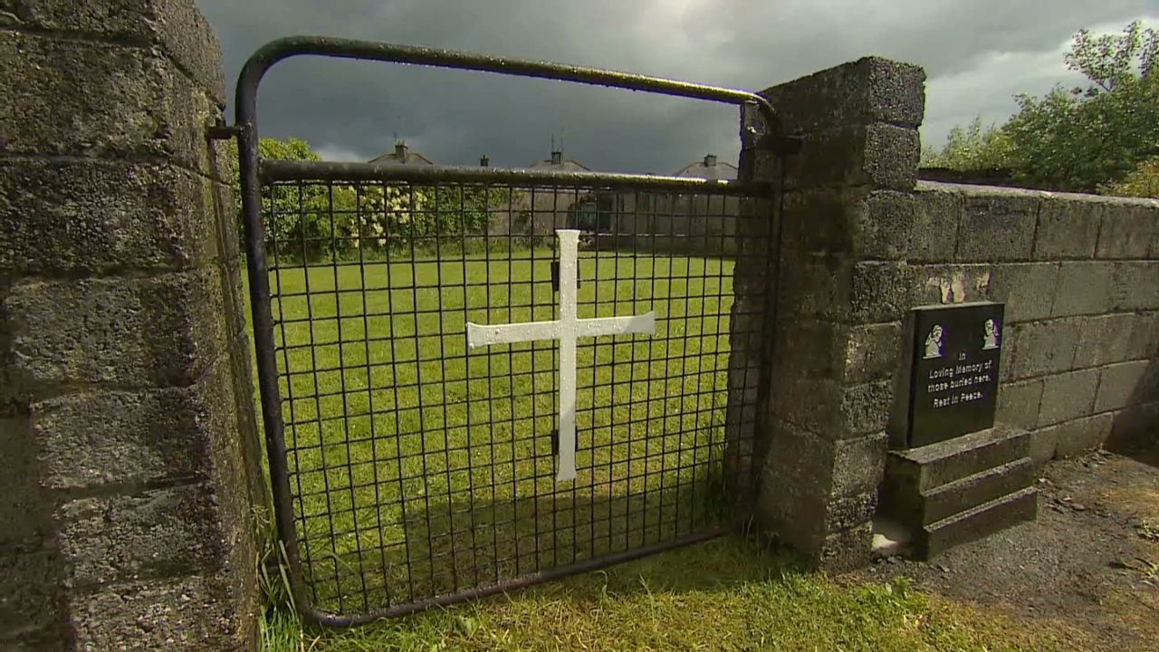 Grave YardGraveyard · 702 yd
 Dunmahon Castle (in Ruins)Bawn · 1361 yd
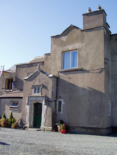 Ballyclogh Housecountry house · 1588 yd
 Killleenemer Church (in Ruins)Church · 1.1 mi
 Castle (in Ruins)Castle, tower house · 1.1 mi
 St Dominick's WellSpring · 1.6 mi
 Graveyard in BoherashGraveyard · 1.7 mi
 Flat cemetery in Ballyenahan NorthFlat cemetery · 4.4 mi
 Blackwater (Avondhu) WayWalking route · 5.5 mi
 Johnson's WoodForest · 5.7 mi
 Priest's WoodForest · 5.9 mi