What is recorded here
Located on a gentle W-facing slope c. 50m from a NW-SE section of the Rye Water c. 30m to the SW, and on the NW side of a NE-SW mill-race. It was first identified by L. Coen as an area with concentrations of burnt stone during archaeological monitoring (18E0296) of works associated with flood relief (excavations.ie 2018:668), and subsequently fully excavated (18E0377) by the same archaeologist (excavations.ie 2018:670). Four areas of broken and burnt stone in a black peaty clay matrix (dims 2m x 1.5m to 3m x 2m; T 0.05-0.17m) were uncovered. All appeared to be re-deposited and the area was traversed by a modern NE-SW filed drain. (Coen 2019)
Compiled by: Michael Moore
Date of upload; 27 September 2021
Burnt mound in Dolanstown is a fulacht fiadh, typically dating to the Early Medieval period, though some examples are older. These sites are significant as they provide evidence of prehistoric cooking, feasting, or industrial activity.
The monument record does not grant public access. Check the route and ask the landowner before entering private land.
- What survives
- Recorded monument
Places near here
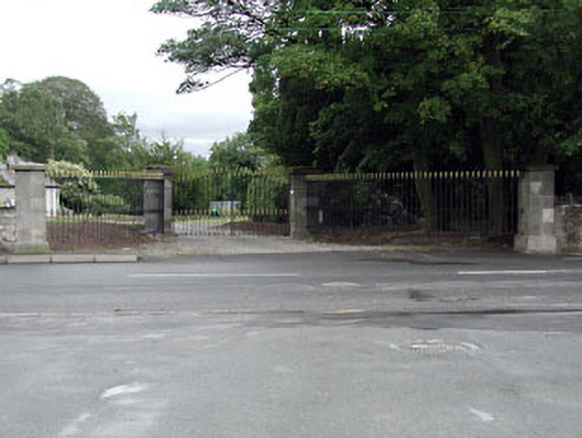 The Shrubberygates/railings/walls · 468 yd
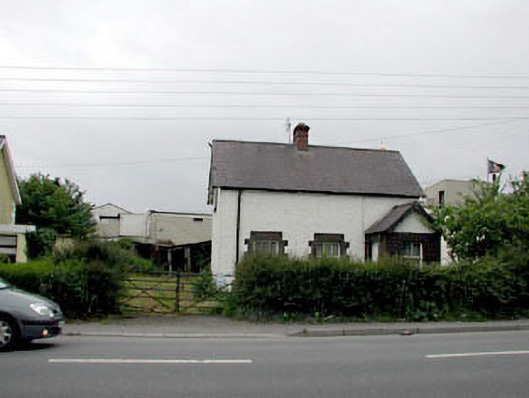 Sonashouse · 501 yd
 Font in KilcockFont · 530 yd
 Ecclesiastical site in KilcockEcclesiastical site · 530 yd
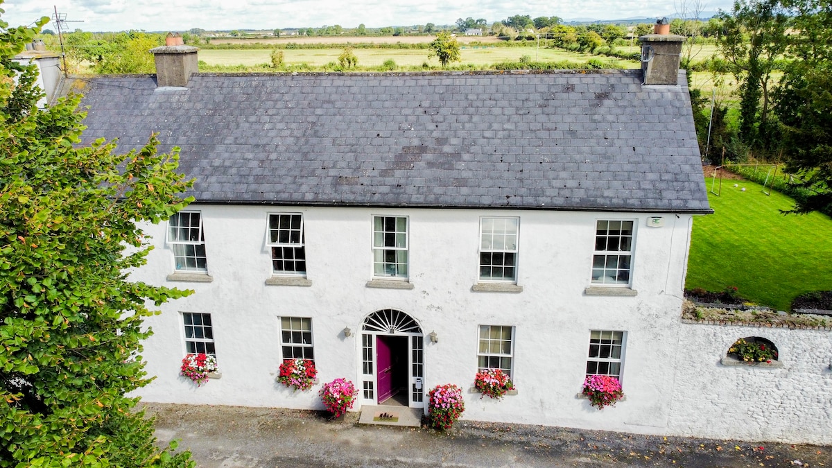 Bawn in PitchfordstownBawn · 1.2 mi
 Rodanstown fortCastle, motte · 1.2 mi
 Mass was there in Penal TimesMemorial · 1.7 mi
 Kilgar GardensHeritage attraction · 2.4 mi
 Larchil Arcadian GardensHeritage attraction · 2.5 mi
 Oscoil Na hÉirean Má NuadMemorial · 3.1 mi
 The OrchardWood · 3.4 mi
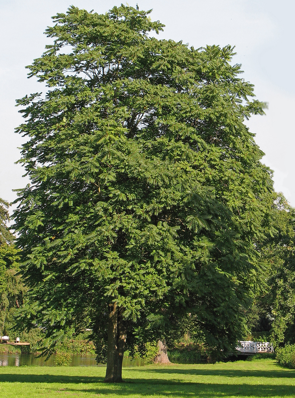 Tree of HeavenTree of Heaven · 3.4 mi