What is recorded here
Situated on the floor of the valley of the River Blackwater, with a WNW-ESE section of the stream c. 50m to the S. Archaeological testing (04E1060) by D. Bayley (2005) at Testing Area 9 of Contract 5 of the M3 motorway identified archaeological features in a limited area (dims c. 25m x c. 15m) that were completely excavated (E003183) by D. Gallagher in January 2007 (excavations.ie 2007:1298) as Derver 5. Three pits (dims 1.1m x 0.4m; D 0.3m to 1m x 0.9m; D 0.18m), a linear feature (dims 4m x 1.1m; D 0.15-0.3m) and a spread (dims 3.46m x 3.3m; T 0.1m) of mottled brown-grey clayey silt with some charcoal inclusions were excavated. The pits were filled with clay that had some heat-affected stone and charcoal. Samples of charred hazel from a pit produced a C14 date of 43 cal. BC – 126 cal. AD (Beta 247195), while a sample of hazel charcoal from the upper fill of the linear feature yielded a date of 1734-1515 cal. BC (Beta 247194). No trough or mound was identified and no artefacts were recovered but the presence of a burnt mound of two different periods of use is indicated. (Gallagher and Kelleher 2008)
Compiled by: Michael Moore
Date of upload: 4 March 2022
Burnt mound in Derver is a Neolithic ritual or industrial site, dating to the third millennium BCE. Its significance lies in providing evidence of early human activity and land use in the River Blackwater valley.
The monument record does not grant public access. Check the route and ask the landowner before entering private land.
- What survives
- Recorded monument
Places near here
 Woodpole Fox CovertWood · 955 yd
 FortsCastle, motte and bailey · 1096 yd
 Mote of DerverArchaeological place · 1112 yd
 Church in EdenburtChurch · 1694 yd
 IndicatedFairy fort / earthen ringfort · 1759 yd
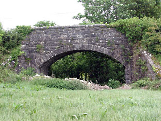 Woodpole Bridgebridge · 1.1 mi
 Balgree MoteCastle, motte · 1.1 mi
 Ballyhist WoodWood · 1.4 mi
 MaperathMountain / peak · 2.5 mi
 MountainpoleMountain / peak · 3.5 mi
 The Kieran Flanagan WayMemorial · 3.7 mi
 Great Famine ProjectMemorial · 3.8 mi