What is recorded here
Burnt mound in Derrylehan is a burnt mound in Derrylehan, County Sligo, Ireland. The low, moss-covered rise sits at the edge of drier pasture and damp rush ground, marked mainly by different vegetation growth rather than a sharp shape. A spring and another burnt mound lie nearby, while a church and graveyard stand further to the northeast.
In pasture, located at the interface between gently elevated drier pasture to S and flat expanse of rush-grown damp ground which extends to N. A spring/small stream, beside which there is a fulacht fia (SL005-197----), rises 15m to NNE.
This possible burnt mound is evident as a very low, moss- and grass-covered rise (c. 7-8m E–W; c. 5m N–S; H 0.2-0.3m, 0.4m at N), which appears to be composed of angular stone fragments in black soil. It is poorly defined, distinguished mainly by differential vegetation growth.
There is a burnt mound (SL005-196----) 120m to NE. A church (SL005-061001-) and graveyard (SL005-061002-) are located 140m to NE.
Notified to NMS by Leo Leydon.
Compiled by: Jane O’Shaughnessy
Date of upload: 28 May 2019
Burnt mound in Derrylehan is a fulacht fia, typically dating to the Early Bronze Age. These sites are significant as they provide insight into prehistoric cooking or industrial activities in the landscape.
The monument record does not grant public access. Check the route and ask the landowner before entering private land.
- What survives
- Recorded monument
Places near here
 Church (in Ruins)Church · 164 yd
 CashelbadeenFairy fort / stone ringfort · 560 yd
 Enclosure in RathfraskEnclosure · 1018 yd
 BenwiskinMountain / peak · 1.3 mi
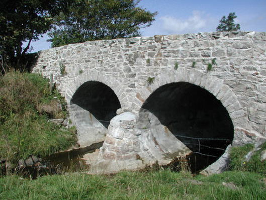 bridgebridge · 1.4 mi
 Benwiskin South TopMountain / peak · 1.6 mi
 Gleniff Horseshoe DriveViewpoint · 2.1 mi
 BenbulbenMountain · 2.1 mi
 Dermot & Grania's BedCave · 2.1 mi
 Gleniff Horseshoe Drive 2Viewpoint · 2.1 mi
 Connors IslandIsland · 3.0 mi
 InishnagorIslet · 3.0 mi