What is recorded here
In reclaimed pasture, on the E bank of a stream on Bear Island. A spread of heat-shattered stones and charcoal-enriched soil is evident on the grass-covered surface of a roughly D-shaped area (6m E-W; straight W side; L 10m N-S). A fulacht fia (CO128-027001-) lies c. 65m to the NE.
The above description is derived from 'The Archaeological Inventory of County Cork. Volume 5' (Dublin: Stationery Office, 2009).
Date of upload: 22 December 2009
Burnt mound in Derrycreeveen is a Neolithic ritual or industrial site, dating to approximately 4000–2500 BCE. Its significance lies in providing evidence of early human activity, possibly related to cooking, heating, or ceremonial practices.
The monument record does not grant public access. Check the route and ask the landowner before entering private land.
- What survives
- Recorded monument
Places near here
 Burial ground in DerrycreeveenBurial ground · 409 yd
 Sheep IslandsIslet · 600 yd
 Children's burial ground in DerrycreeveenChildren's burial ground · 621 yd
 Bracklagh IslandIslet · 732 yd
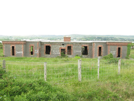 officer's houseofficer's house · 971 yd
 Ardnakinna West Island LoopWalking route · 1114 yd
 Derrycreeveen Signal TowerRuins · 1197 yd
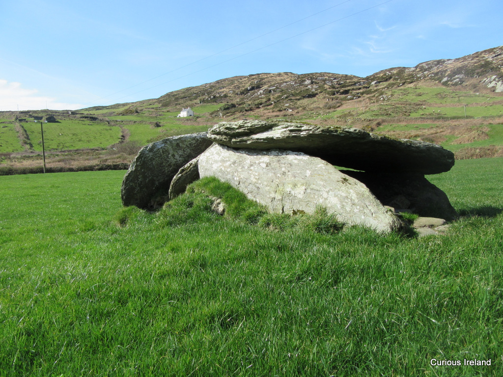 Killeenagh Burial Gd (Infants)Burial ground · 1.1 mi
 KnockanalligMountain / peak · 1.2 mi
 Sarah Walker GalleryGallery · 1.2 mi
 Berehaven Battalion MemorialMemorial · 1.2 mi
 Siege of Dunboysiege · 1.3 mi