What is recorded here
Meltwater erased the rest. The road men cut through Cranavonane and the ground gave up a small burnt mound, then flooded the hole before they could measure it. They left it alone. The clay kept its heat and the men drove past with empty hands.
A 'small burnt mound spread' was uncovered during the testing phase in advance of construction of the N9/N10 Kilcullen-Waterford Road (Excavation Licence number E3732). Due to continuous flooding it was not possible to excavate this potential monument. (O' Carroll, E. 2009, 1-2)
Reference:
O' Carroll E. (2009) Final archaeological resolution report, N9/N10 Kilcullen to Waterford scheme phase 4B: Rathclogh to Powerstown on behalf of Kilkenny county council carried out by Irish Archeological Consultancy Ltd. Unpublished report
Compiled by: Claire Breen
Date of upload: 10 November 2010
Burnt mound, Late Bronze Age. The site is significant as a rare example of a small-scale domestic or ritual activity area associated with heat-related functions such as cooking or hide processing.
The monument record does not grant public access. Check the route and ask the landowner before entering private land.
- What survives
- Recorded monument
Places near here
 Enclosure in CranavonaneEnclosure · 476 yd
 Enclosure in RathornanEnclosure · 912 yd
 Graveyard in Tomard Lower (3 Detached Portions)Graveyard · 924 yd
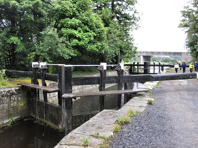 Rathvinden Locklock · 1.2 mi
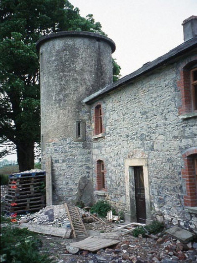 The Tower Housefarm house · 1.3 mi
 Black Castle (in ruins)Castle, tower house · 1.7 mi
 Church, GraveyardChurch · 1.9 mi
 Common LimeCommon Lime · 2.2 mi
 Gallows HillMountain / peak · 3.0 mi
 Clogrenan CastleCastle, tower house · 3.4 mi
 Sweet ChestnutSweet Chestnut · 3.7 mi
 Lock Keeper's House and Lodge MillsVisitor information · 4.0 mi