What is recorded here
Located on a gentle NW-facing slope. Archaeological testing (E004811) of an area required for the construction phase of the M11 Gorey to Enniscorthy motorway in January 2017 (Whitty and Kavanagh 2017) identified archaeological features (excavations.ie 2017:167) in four areas which were fully excavated (E004857) subsequently as parts of Corbally 6. Area 1 consisted of four large pits truncated by a burnt spread (excavations.ie 2017:314). The pits varied from small (dims 1.3m x 1.1m; D 0.2m) to large (dims 4m x 2.7m; D 0.4m) and were filled with similar layers varying from black to yellow silty sands and were largely the result of natural silting. The largest was re-cut twice. No artefacts were recovered, and none served as a trough for the burnt mound material which was a single thin layer (dims 9.5m x 4.8m; D 0.06m) located c. 10-15m to the S. Two N-S drains placed 2-3m apart, probably drains on either side of a modern and mapped field bank cut the burnt spread. (Whitty & Kavanagh 2018, 10-12)
See the attached plan from Whitty & Kavanagh (2018, fig. 4)
Compiled by: Michael Moore
Date of upload; 5 November 2020
Burnt mound in Corbally is a Bronze Age ritual or industrial site, dated to approximately 2000–800 BCE. Its significance lies in providing evidence of early land use and thermal activity, possibly linked to ceremonial practices or craft production.
The monument record does not grant public access. Check the route and ask the landowner before entering private land.
- What survives
- Recorded monument
Places near here
 Kiln in Corbally (scarawalsh By.)Kiln · 144 yd
 Enclosure in Corbally (scarawalsh By.)Enclosure · 308 yd
 KilnKiln, corn-drying · 345 yd
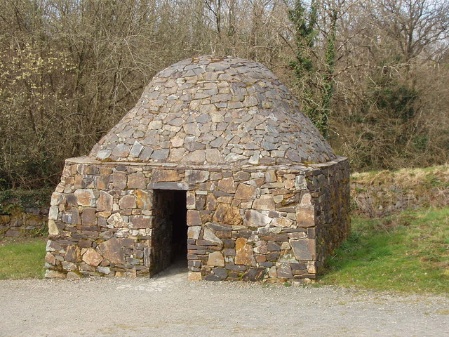 Hut site in Corbally (scarawalsh By.)Hut site · 374 yd
 Embanked enclosureCastle, motte · 1.9 mi
 Battle of Vinegar Hill, 1798Monument · 2.0 mi
 Vinegar HillMountain / peak · 2.0 mi
 Battle of Vinegar HillMajor battlefield · 2.7 mi
 U.N. Peace MemorialMonument · 2.7 mi
 National 1798 CentreMuseum · 2.8 mi
 Duffry GateMemorial · 2.8 mi
 Daphney CastleCastle, unclassified · 4.1 mi