What is recorded here
In tillage, on the W side of a stream. A spread (18m N-S; 10m E-W) of heat-shattered stones and charcoal-enriched soil. Another possible burnt mound (CO073-107----) lies c. 120m to the NW.
The above description is derived from 'The Archaeological Inventory of County Cork. Volume 5' (Dublin: Stationery Office, 2009).
Date of upload: 22 December 2009
Burnt mound, likely dating to the Neolithic or Bronze Age. Such features are commonly associated with ritual or industrial activities, such as the processing of hides or the preparation of tannins.
The monument record does not grant public access. Check the route and ask the landowner before entering private land.
- What survives
- Recorded monument
Places near here
 sign postsign post · 572 yd
 Grave YdGraveyard · 786 yd
 Stone ArchRuins · 793 yd
 BallyCannon Boys MemorialMemorial · 802 yd
 Jewish Burial GroundBurial ground · 857 yd
 Conor LuceyMemorial · 938 yd
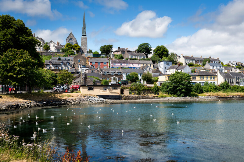 Welcome to KillardVisitor information · 1749 yd
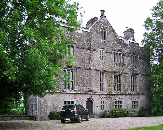 Carrigrohane Castle (in Ruins)Castle, Anglo-Norman masonry castle · 1.1 mi
 Fox's Rock WoodWood · 1.3 mi
 Blarney lake bird nest islandIslet · 1.3 mi
 Blarney LakeVisitor information · 1.4 mi
:BlarneyCastle,KinsaleCorkCityShoreTour-KlookIndia.jpg) Clogheenmilcon SanctuaryNature reserve · 1.4 mi
Clogheenmilcon SanctuaryNature reserve · 1.4 mi