What is recorded here
Located in a poorly drained field of stubble near the river Camac that is prone to flooding. Pre-development testing under licence No 09E0420 by Colm Moriarty in 2009 revealed an oval-shaped pit (F8, Diam. 0.6m) in Trench 6. It was filled with charcoal rich deposit that contained frequent inclusions of burnt stone. This fill is reminiscent of burnt mound material and may indicate that this feature represents a cooking trough. The pit was severely truncated along its W side by a N-S gully/furrow (Moriarty and Gowen 2009, 11).
See attached location maps and photograph, courtesy of Moriarty & Gowen 2009
Compiled by: Caimin O'Brien
Date of upload: 11 November 2022
Burnt mound, likely dating to the Neolithic or Early Bronze Age. Its significance lies in providing evidence of ritual or industrial activity, such as heat-treated stone use for cooking, hide processing, or ceremonial purposes.
The monument record does not grant public access. Check the route and ask the landowner before entering private land.
- What survives
- Recorded monument
Places near here
 Burnt mound in CollegelandBurnt mound · 9 yd
 Burnt spread in CollegelandBurnt spread · 67 yd
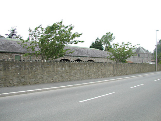 Tassagart Houseoutbuilding · 1106 yd
 CastleCastle, tower house · 1109 yd
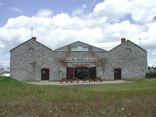 Brown's Barncoaching inn, restaurant · 1180 yd
 Meadow WildlifeVisitor information · 1361 yd
 Early Stadium DesignHeritage attraction · 1610 yd
 Kilbride Castle (site of)Castle, unclassified · 1.2 mi
 Rathcoole WoodlandWood · 1.3 mi
 Inniscara GalleryGallery · 1.4 mi
 Fairy WoodWood · 1.7 mi
 Corkagh DemesneMemorial · 2.1 mi