What is recorded here
Located in a field of stubble near the Camac river which is prone to flooding. Pre-development testing in 2009 identified the truncated remains of a burnt mound (F7). Comprises a spread of burnt stone and charcoal (L 8m x D 0.1m). It corresponds to an an area of burning which appeared on geophysical results (09E0420).
Burnt mound; likely dates to the Neolithic or Bronze Age. These features are commonly associated with ritual or industrial activities, such as heat-treated stone use in cooking or ceremonial contexts.
The monument record does not grant public access. Check the route and ask the landowner before entering private land.
- What survives
- Recorded monument
Places near here
 Burnt mound in CollegelandBurnt mound · 12 yd
 Burnt spread in CollegelandBurnt spread · 53 yd
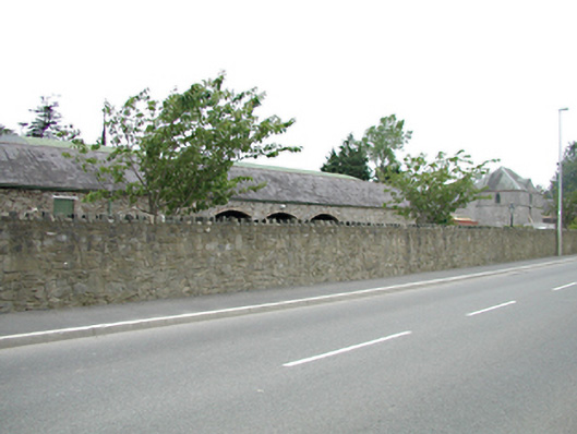 Tassagart Houseoutbuilding · 1096 yd
 CastleCastle, tower house · 1098 yd
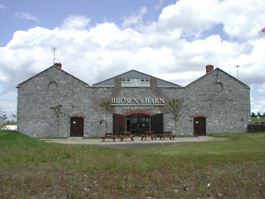 Brown's Barncoaching inn, restaurant · 1191 yd
 Meadow WildlifeVisitor information · 1340 yd
 Early Stadium DesignHeritage attraction · 1630 yd
 Kilbride Castle (site of)Castle, unclassified · 1.2 mi
 Rathcoole WoodlandWood · 1.3 mi
 Inniscara GalleryGallery · 1.4 mi
 Fairy WoodWood · 1.7 mi
 Corkagh DemesneMemorial · 2.1 mi