What is recorded here
In a field of damp rush-grown pasture, converted to forestry. This burnt mound is visible as a concentration (5m E–W; 1m N–S) of angular burnt stone fragments, in a matrix of black charcoal-rich soil, in the base of an E–W forestry trench (Wth 1m; D 0.3m). In the shallow section faces of the trench, a thin layer of peaty topsoil overlies the burnt material. There is no trace of a mound at surface level and the burnt material does not extend into parallel trenches, which lie 6-7m to N and S. There is a burnt mound (MA102-54----) 15m to NE, and a fulacht fia (MA102-56----) 15m to WSW. (Guinan 2015, 113, 116-117, Cloontumper III).
Compiled by: Jane O'Shaughnessy
Date of upload: 25 June 2013
Burnt mound, likely dating to the Neolithic or Early Bronze Age. These features are commonly associated with ritual or industrial activities, such as heat-treated stone use in cooking or ceremonial contexts.
This remains an important historical record, but the official description says the monument is no longer visible or has been destroyed. The monument record does not grant public access. Check the route and ask the landowner before entering private land.
- What survives
- No visible remains or recorded as destroyed
Places near here
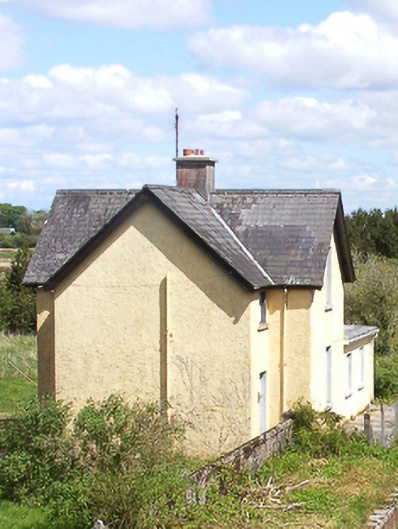 Bekan Railway Stationstation master's house · 1268 yd
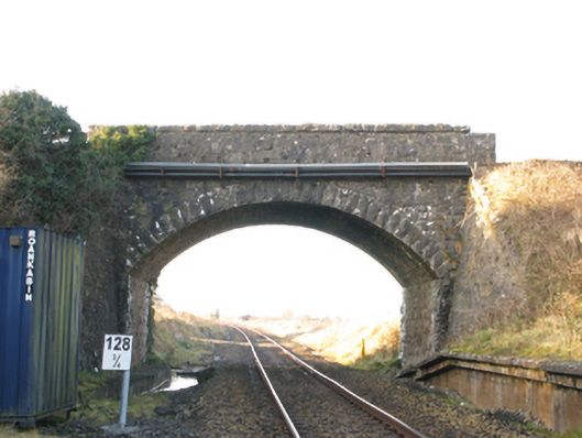 bridgebridge · 1320 yd
 Enclosure in CloontumperEnclosure · 1.0 mi
 Enclosure in BekanEnclosure · 1.2 mi
 Knock MuseumMuseum · 4.6 mi
 Knock ShrineHeritage attraction · 4.7 mi
 Ballybooley CastleCastle · 5.0 mi
 CastleCastle, unclassified · 5.5 mi
 Oak WoodForest · 6.6 mi
 Geoffrey's WoodForest · 7.5 mi
 Mass RockNamed rock · 15 mi
 Church (in Ruins)Church · 1.2 mi