
What is recorded here
In reclaimed pasture. According to local information, a mound of heat-shattered stones and charcoal-enriched soil formerly existed here but it was levelled and the material from it was spread on the surface in the W side of the field. Traces of this material were noted in places on the surface.
The above description is derived from 'The Archaeological Inventory of County Cork. Volume 5' (Dublin: Stationery Office, 2009).
Date of upload: 22 December 2009
Burnt mound, likely dating to the Bronze Age. These features are associated with ritual or industrial activities, such as heat-treated stone use in cooking or ceremonial contexts.
The monument record does not grant public access. Check the route and ask the landowner before entering private land.
- What survives
- Recorded monument
Places near here
 Sheep's Head - Cahergal LoopWalking route · 485 yd
 Miner's settlement in GortavalligMiner's settlement · 1169 yd
 Sheep's Head - Caher LoopWalking route · 1618 yd
 ToberanoraneHoly well · 1744 yd
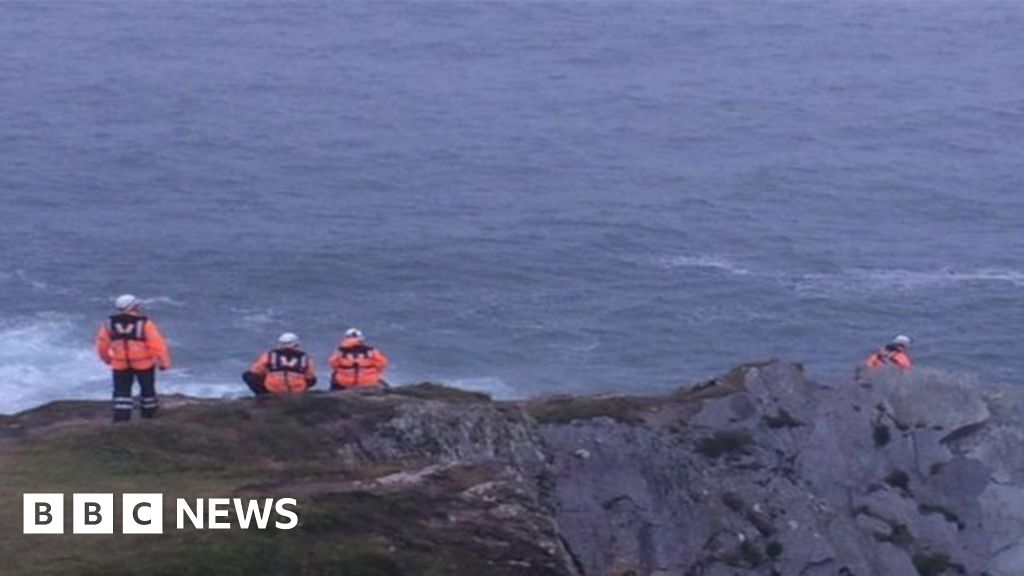 Drowning in Dunmanus BayMemorial · 1.2 mi
 Caher MountainMountain / peak · 1.4 mi
 Mass RockMemorial · 2.7 mi
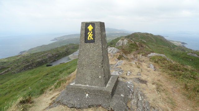 Ballyroon MountainMountain / peak · 2.9 mi
 surgery/clinicsurgery/clinic · 2.9 mi
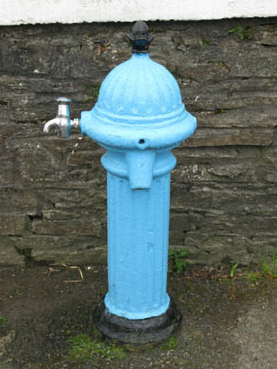 water pumpwater pump · 2.9 mi
 Finn McCool's SeatViewpoint · 2.9 mi
 Stone RowHeritage attraction · 3.3 mi
Other information
Photo: Credit not shown in the picture search · Rights wording not checked; contact us if this picture should be removed