What is recorded here
Discovered in 2003 during archaeological monitoring (under licence 03E0638) in advance of the construction of a holiday home development. A spread (10m x 3m) of heat-shattered stones and charcoal-enriched soil was encountered in the S section of the development site, 1m from the N bank of a stream. A smaller area of similar material was also identified, 1.5m to the W. This possible burnt mound remains in situ, covered with a sheet of membrane and overlain with soil, 1m in depth. (Lane 2006, 45-6)
The above description is derived from 'The Archaeological Inventory of County Cork. Volume 5' (Dublin: Stationery Office, 2009).
Revised by: Paul Walsh
Date of upload: 17 October 2013
Burnt mound, likely dating to the Neolithic or Bronze Age. It represents evidence of ancient domestic or ritual activity, possibly related to cooking, heating, or ceremonial practices.
The monument record does not grant public access. Check the route and ask the landowner before entering private land.
- What survives
- Recorded monument
Places near here
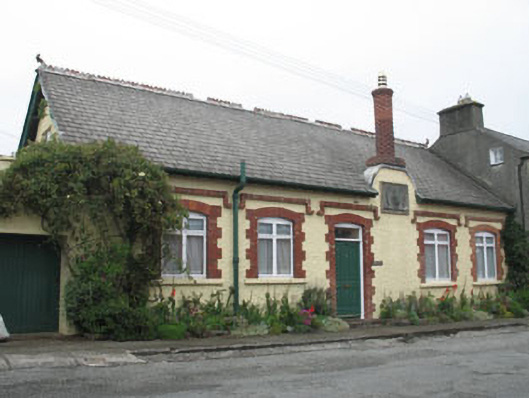 Sundial Househouse · 107 yd
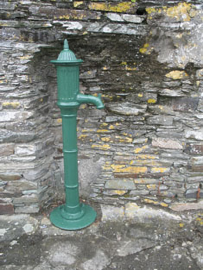 water pumpwater pump · 111 yd
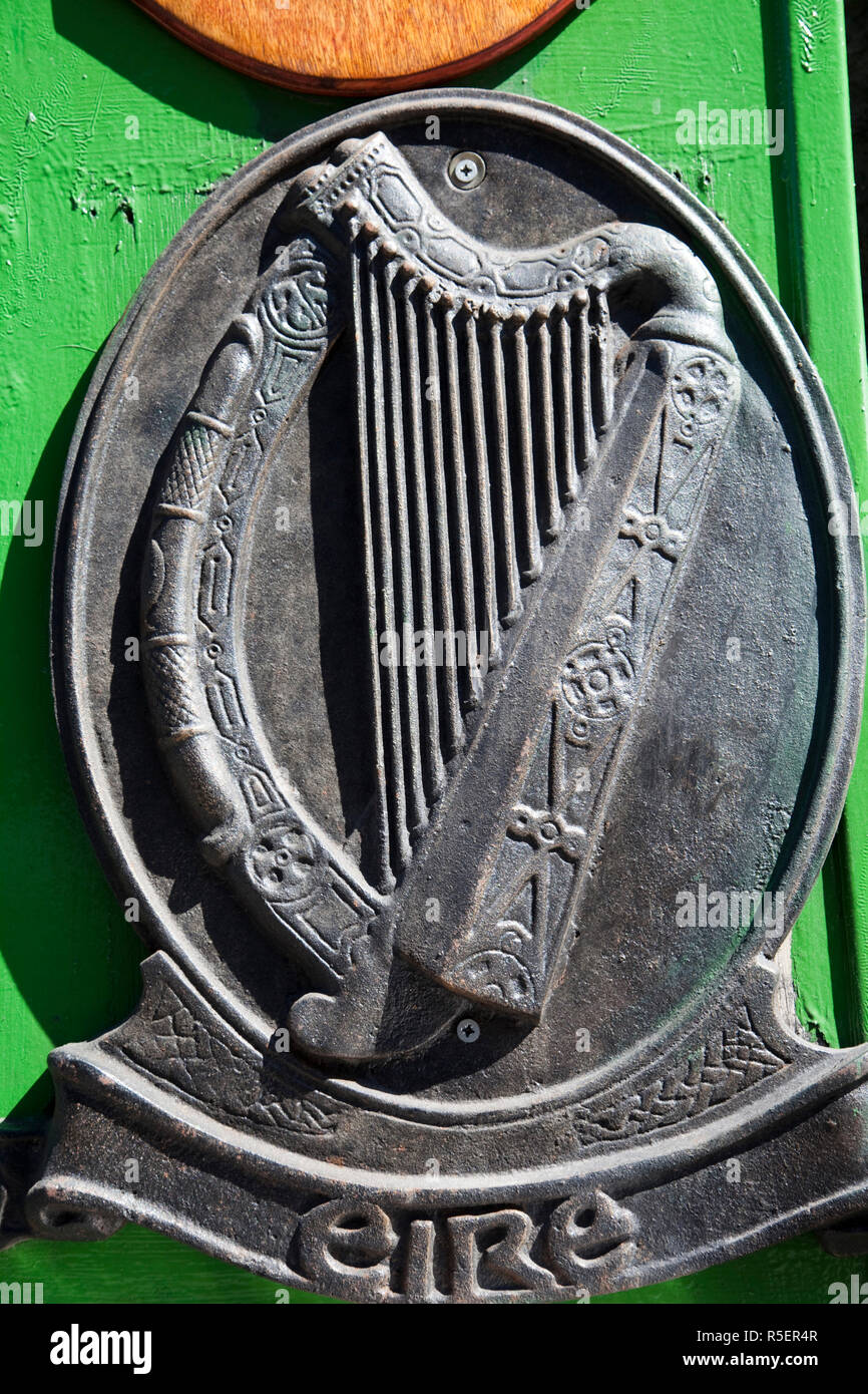 The Irish RM PlaqueMemorial · 136 yd
 Battle of CastlehavenMemorial · 144 yd
 SycamoreSycamore · 314 yd
 CuaisínBeach / strand · 365 yd
 Bayard Warren PlaqueMemorial · 471 yd
 Castle TownshendCastle · 546 yd
 Keil Burial Gd (Disused)Burial ground · 618 yd
 Cat IslandIslet · 756 yd
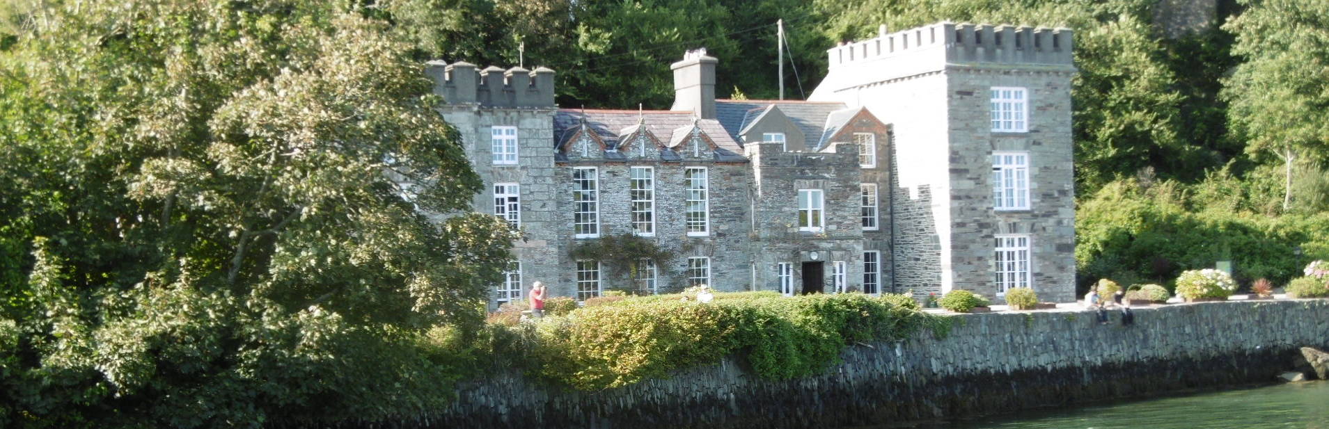 Fort (in Ruins)Bastioned fort · 757 yd
 Cuaisín Leaca TobarBeach / strand · 820 yd