What is recorded here
A surface scatter of heat-shattered stones and charcoal-enriched soil was discovered during topsoil stripping in advance of the construction of the Ballincollig-Ballineen gas pipeline in 2000 (pers. comm. Red Tobin). It lay c. 2m from the S baulk of the wayleave of the pipeline and it was accidentally obliterated by heavy machinery before it was archaeologically tested. It is likely, however, that the main concentration of burnt material occurs to the S of the pipeline and remains undisturbed there and that the surface scatter was a result of material being dragged due to ploughing. Another possible burnt mound (CO109-090002-) c. 50m to the E was excavated (Tobin 2002d, 41-2).
The above description is derived from 'The Archaeological Inventory of County Cork. Volume 5' (Dublin: Stationery Office, 2009).
Date of upload: 22 December 2009
Burnt mound in Castlelands is a Bronze Age ritual or industrial site, characterized by heat-shattered stones and charcoal-rich soil. Its discovery provides insight into prehistoric land use and domestic or ceremonial activities in the Carbery East region.
The monument record does not grant public access. Check the route and ask the landowner before entering private land.
- What survives
- Recorded monument
Places near here
 Burnt mound in Castlelands (carbery East (w.d.) By.)Burnt mound · 191 yd
 Castlelands Millmill (water) · 374 yd
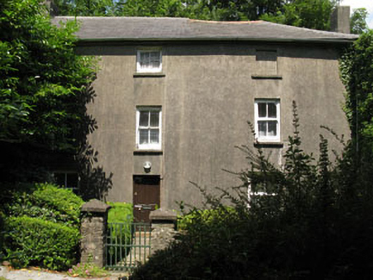
 Castlelands Househouse · 489 yd
 Fulacht fia in Teadies UpperFulacht fia · 904 yd
 The GlenWood · 1.8 mi
 Castle DerryCastle · 2.6 mi
 Castle RockNamed rock · 2.7 mi
 Irish National Forestry FoundationNature reserve · 2.9 mi
 Corran HillMountain / peak · 3.1 mi
 Tobar MacloonaboySpring · 3.6 mi
 Green HillMountain / peak · 4.0 mi
 Ballynacarriga CastleCastle, tower house · 4.9 mi