What is recorded here
The remains of this burnt mound were discovered in July 2014 in a relatively flat field that had been recently ploughed and harrowed (pers. comm. Dr James Bonsall). A spread of burnt stone, roughly sub-oval in plan (9m SW-NE; 6m SE-NW), was evident on the surface of the field and at a depth of 5-10cm below the loosely harrowed soil.
Compiled by: Olive Alcock
Date of upload: 21 July 2014
Burnt mound, likely dating to the Neolithic or early Bronze Age. Such features are commonly associated with ritual or industrial activities, though their exact function remains debated.
The monument record does not grant public access. Check the route and ask the landowner before entering private land.
- What survives
- Recorded monument
Places near here
 Enclosure in Ballindine WestEnclosure · 857 yd
 Knocknaglogh FortFairy fort / ringfort · 1585 yd
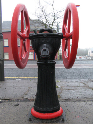 water pumpwater pump · 1630 yd
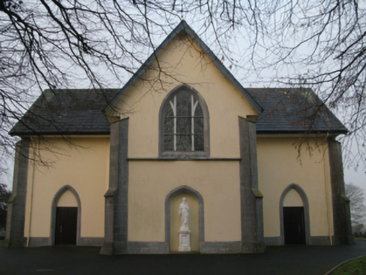 Saint Joseph's Catholic Churchchurch/chapel · 1.1 mi
 CastleCastle, unclassified · 2.0 mi
 Oak WoodForest · 2.4 mi
 Bawn in Castlemagarretpark OldBawn · 2.5 mi
 Geoffrey's WoodForest · 2.8 mi
 Land of the GiantsHeritage attraction · 4.6 mi
 Mass RockNamed rock · 9.0 mi
 IndicatedFairy fort / earthen ringfort · 1.2 mi
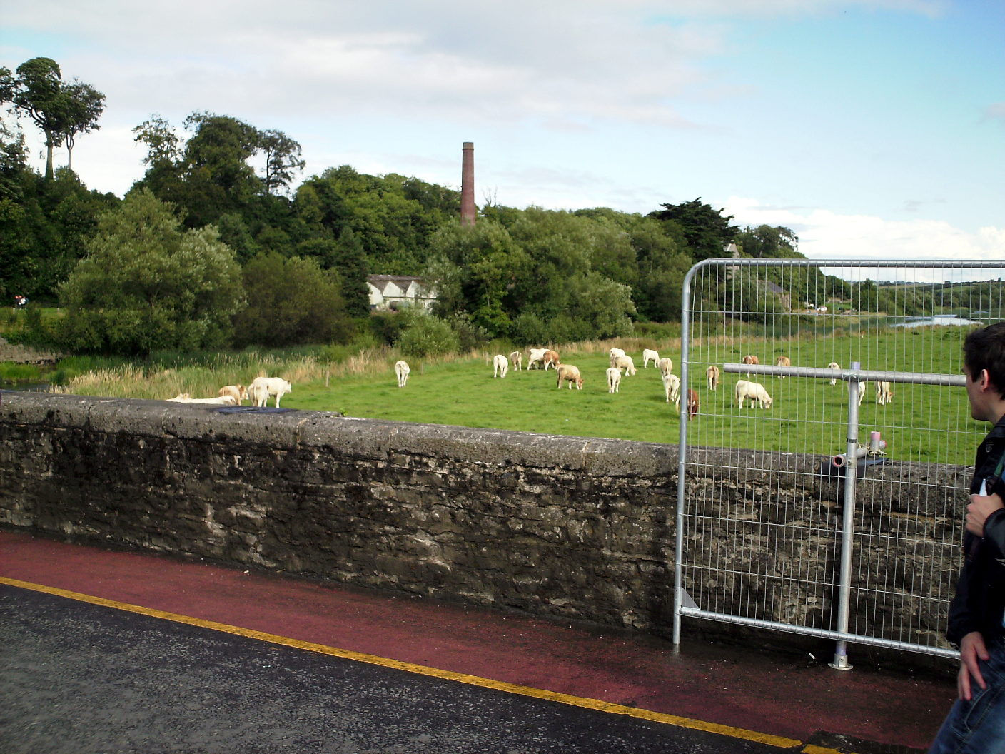 Enclosure in Lugalisheen NorthEnclosure · 1.2 mi