What is recorded here
Burnt mound in Carrownacreevy (corran By.) is a burnt mound in Carrownacreevy (corran By.), County Sligo, Ireland. A field drain curves through the wet hollow, exposing a 14m layer of shattered stones within a charcoal-rich matrix. Upcast from the drain incorporates burnt mound material, spread on either side and heaped atop the western field fence.
In pasture, situated within a naturally-occurring depression of wet ground, bordered at S by a N-facing escarpment, and 15m to N by a low knoll upon which a rath (SL019-055----) is sited. The S shoreline of Ballisadare Bay is c.100m to N. A field drain (Wth 1.4m) curves in a shallow arc SE-N through the wet hollow. Along the S arc of the drain, a layer (L 14m; T 0.4-0.6m) of shattered stones within a charcoal-rich matrix is exposed in section at a depth of 0.4m-0.5m beneath present ground level. The layer is clearly visible in the N section face of the drain but only intermittently in the S section face. It overlies orange and pale grey subsoil layers. An animal bone was visible in dark-brown sandy soil at a level 0.15m above the burnt layer in the N section. There is a short interruption to the layer at its W end, at the point where the drain begins to curve to the N, but burnt material (L 8m) is again visible in both section faces where the drain extends to N. In the W section face a shallow dip in the surface of the burnt stone layer is filled with a grey, slightly greasy deposit (L 1m; T 0.15m) which is partly overlain by a lens of oyster shell (L 1m; T 0.15m). No trace of a mound is evident at surface level in the field but upcast from the drain, incorporating burnt mound material, has been spread on either side of the drain and heaped on top of the field fence that borders the W side of the drain.
Compiled by: Jane O'Shaughnessy
Date of upload: 12 May 2011
A burnt mound; date uncertain but likely Bronze Age. Its location near a rath and on a prominent landscape feature suggests ritual or domestic activity in a strategically significant area.
The monument record does not grant public access. Check the route and ask the landowner before entering private land.
- What survives
- Recorded monument
Places near here
 IndicatedFairy fort / earthen ringfort · 365 yd
 Enclosure in Ballinlig (tireragh By.)Enclosure · 719 yd
 Bawn in Tanrego WestBawn · 965 yd
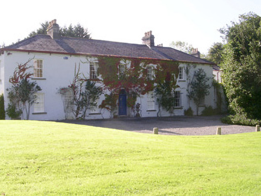 Tanrego Househouse · 1083 yd
 Lahanacappul IslandIslet · 1090 yd
 Carrowgarry Househouse · 1113 yd
 Ballinlig PointHeadland · 1275 yd
 Portavaud PointHeadland · 1591 yd
 CastleCastle, ringwork · 1.0 mi
 Giant's GraveArchaeological place · 1.1 mi
 CulleenamoreBeach / strand · 1.6 mi
 European ashEuropean ash · 2.2 mi