
What is recorded here
From the National Monuments Service (Archaeological Survey of Ireland) record MA061-222
Places near here
Photo credits
- Maker not stated on source page, en.wikipedia.org
- Maker not stated on source page, www.tonyoneill.org
- Maker not stated on source page, www.alamy.com
- Maker not stated on source page, fi.pinterest.com
- Maker not stated on source page, www.exploringgb.co.uk
- Maker not stated on source page, www.flickr.com
- Didier Descouens, Wikimedia Commons · CC BY-SA 4.0
- Annette Clarke / Moy Davitts GAA, as credited by Western People, www.westernpeople.ie
- Golfing in Ireland; photographer not stated, Source publisher
- Discover Ireland; photographer not stated, Discover Ireland
 Fairy fort / stone ringfort in CallowFairy fort / stone ringfort · 413 yd
Explorer Tom Fairy fort / stone ringfort in Callow gets regular visits from sheep who think it’s a very expensive fence. They chew…
 Wedge tomb in CallowWedge tomb · 723 yd
Explorer Tom Wedge tomb in Callow is showing off its secret talent: perfecting the art of looking ignored while everyone stares at…
 Church in CullinChurch · 1154 yd
Explorer Tom Church in Cullin was saved by a hero nobody remembers, probably a guy named Patsy who fixed a roof leak with a biscuit…
 Stone circle in CallowStone circle · 1266 yd
Explorer Tom Stone circle in Callow claims there’s a shortcut through the middle that isn't actually a shortcut at all. It’s just…
 Kilsheshnan ChurchChurch · 1.1 mi
Explorer Tom Kilsheshnan Church has had so many names it’s lost its own identity. It’s like a celebrity who keeps changing their…
 Standing stone in CloonygowanStanding stone · 1.3 mi
Explorer Tom Standing stone in Cloonygowan, County Mayo was once used by a local matchmaker to judge if couples had good chemistry.…
 Graveyard in Carrowneden (gallen By.)Graveyard · 1.4 mi
Explorer Tom Graveyard in Carrowneden is hiding a treasure that is absolutely, one hundred percent, just a rusty biscuit tin from…
 Hawthorn2.0 mi
Explorer Tom Hawthorn witnessed a love story that went badly wrong next to it, involving a lot of crying and one very torn jacket.…
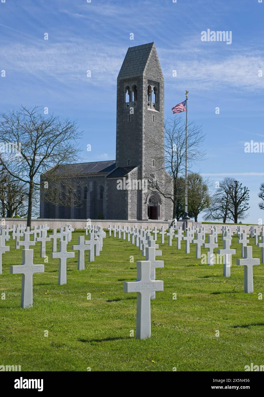 St. Martin's CemeteryCemetery · 3.3 mi
Explorer Tom St. Martin's Cemetery would tell you exactly what it saw last Tuesday if you bought it enough pints at the local pub…
 Srath Garbh, Bohola-Moy Davitts, FoxfordGAA ground · 3.8 mi
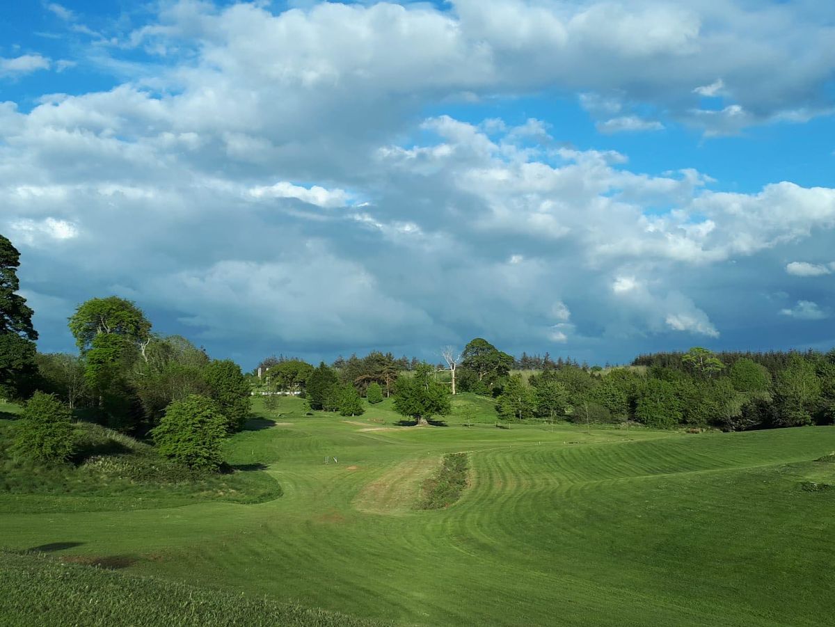 Swinford Golf ClubGolf course · 4.3 mi
 Father Peyton CentreVisitor attraction · 5.3 mi
Explorer Tom The Father Peyton Centre in Attymass tells how a boy from the Mayo countryside became a priest whose family prayer…
More archaeology and monuments in County Mayo · All of County Mayo

What do you know about this place?Tap to add a comment or ask a question