What is recorded here
Seven burnt mounds emerged in Cahircalla More when road builders cut through peat in 2003, revealing bronze-age heat trapped beneath the wet land. Area ii lay on drier ground above natural gravel, its limestone and sandstone still carrying charcoal from fires lit between 1100 and 900 Cal BC. The stones did not build a house or fence a field; they marked a place where water, heat and repetition made something the body could feel before the mind could name.
Discovered in 2003 during test trenching in advance of the construction of the Ennis Bypass and Western Relief Road at the edge of and close to the surface of a peat bog and excavated in 2004. Excavation revealed seven discrete prehistoric burnt mounds (CL033-162001- to CL033-162007-). This record is for Area ii which lay on drier ground than the other burnt stone spreads and directly overlay natural gravel. It comprised a spread of burnt stone (8.4m x 5.6m; T 0.1-0.2m), mostly limestone with some sandstone and a small amount of charcoal. A radiocarbon determination of 1100-900 Cal BC was obtained. (Taylor 2006; Bermingham, Hull and Taylor 2012)
Compiled by: Mary Tunney
Date of upload: 30 May 2017
Burnt mound in Cahircalla More is a Bronze Age ritual or industrial site, dated to approximately 2000–800 BCE, characterized by the presence of heat-shattered stones and hearths. Its significance lies in providing insight into prehistoric land use, domestic or ceremonial activities, and the technological practices of early farming communities in the region.
The monument record does not grant public access. Check the route and ask the landowner before entering private land.
- What survives
- Recorded monument
Places near here
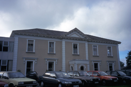 Cahircalla Housecountry house · 798 yd
 Rockmount WoodWood · 1140 yd
 Alice and Gwendoline CaveMuseum · 1182 yd
 Saint Flannan's Collegeschool · 1524 yd
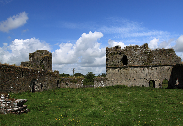 Enclosure in BallybegEnclosure · 1548 yd
 Killone Castle (in Ruins)Castle, unclassified · 1.1 mi
 Enclosure in KilmoraunEnclosure · 1.2 mi
 Abbey WoodForest · 1.3 mi
 CastleCastle, tower house · 1.3 mi
 Killone AbbeyHeritage attraction · 1.4 mi
 Clare MuseumMuseum · 1.5 mi
 Poul na gollorCave · 1.6 mi