What is recorded here
Half a metre above the marsh and twenty-eight metres across, the mound still holds its shape while water fills the ditch that cuts it in two. It is the kind of place where heat and damp collided repeatedly until stone and soil remembered the pressure. People may have gathered there to cook, clean or mark the boundary between dry land and drowning ground. The marsh keeps the shape alive by refusing to cover it completely.
'This site was initially identified as a probable fulacht fiadh on black and white aerial photography in September 2004. The site was clearly visible in an extensive tract of wet, marshy land. The site consists of a sub0circular raised dry area in an area of marsh the mound is 0.6m high and measures 28m by 18m. It is cut from north to south by a water-filled ditch and field boundary. No definitive trough area is visible.'
Description from ‘The Prehistoric Settlement of the Lee Valley, Tralee, Co. Kerry; A Landscape Perspective’ by Michael Connolly. PhD Thesis UCC 2008
Date of upload: 22 June 2012
A fulacht fiadh (burnt mound), likely dating to the Bronze Age. These sites are significant as they provide insight into prehistoric cooking or processing techniques and are often associated with domestic or ritual activities.
The monument record does not grant public access. Check the route and ask the landowner before entering private land.
- What survives
- Recorded monument
Places near here
 Megalithic structure in Camp (trughanacmy By., Ballyseedy Ed)Megalithic structure · 767 yd
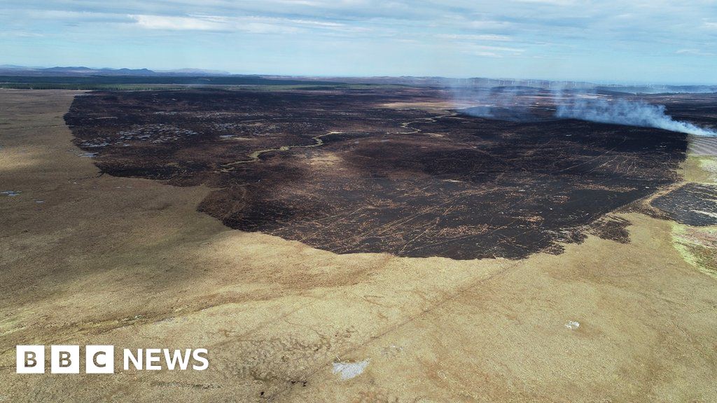 Burnt spread in Caherleheen (trughanacmy By., Ballyseedy Par.)Burnt spread · 820 yd
 European YewEuropean Yew · 1241 yd
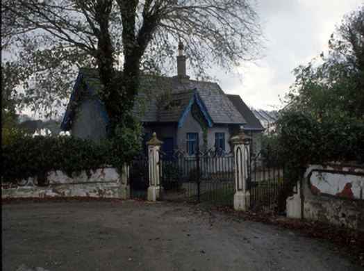 Cloghersgate lodge · 1690 yd
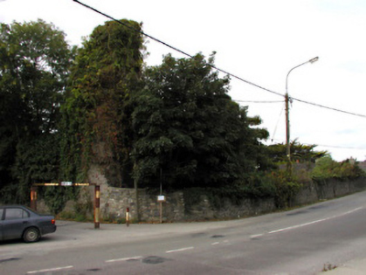 Castlemorriscastle/fortified house · 1726 yd
 Civil War MemorialMemorial · 1.3 mi
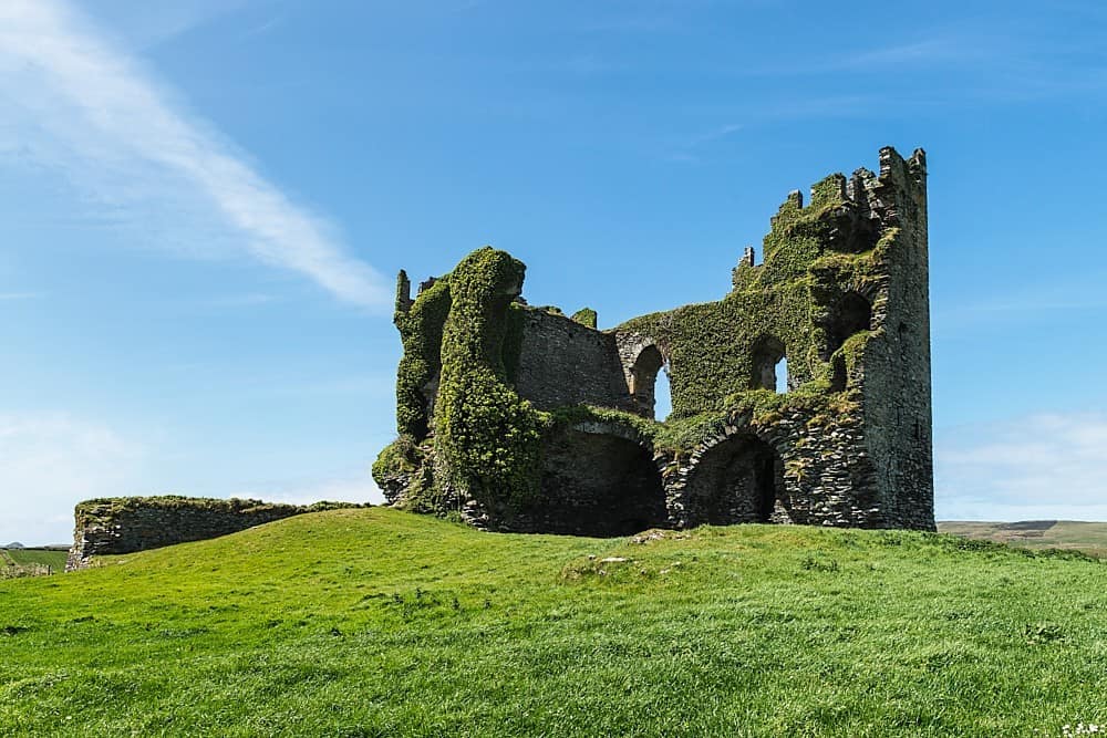 CastleCastle, unclassified · 1.5 mi
 Scotia's GraveArchaeological place · 1.7 mi
 Kerry County MuseumMuseum · 1.7 mi
 Common AlderCommon Alder · 1.7 mi
 John Hurley GalleryGallery · 1.8 mi
 Knockmichael MountainMountain / peak · 2.0 mi