What is recorded here
Situated in the valley of a S-N stream, c. 20m W of the stream. It was excavated (E3506) as site 48 during 2005 in advance of the building of the N11 Arklow - Gorey bypass. An irregularly-shaped spread of burnt material (dims. 4.25m x 2.35m; T 0.15m) with some burnt stone overlay river-washed soils. (Martin 2008)
Compiled by: Michael Moore
Date of upload: 14 February, 2012
Burnt mound in Boleybaun is a fulacht fia, dating to the Early to Middle Bronze Age. These sites are significant as they provide insight into prehistoric cooking, ritual, or industrial activities in Ireland.
The monument record does not grant public access. Check the route and ask the landowner before entering private land.
- What survives
- Recorded monument
Places near here
 Burnt spread in BoleybaunBurnt spread · 219 yd
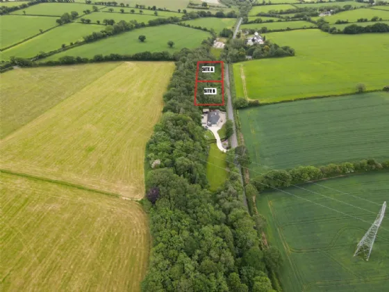 Fulacht fia in ParkbaunFulacht fia · 246 yd
 monumentmonument · 678 yd
 Water millWater mill, horizontal-wheeled · 801 yd
 Curragh WoodWood · 1.2 mi
 CastleCastle, unclassified · 2.0 mi
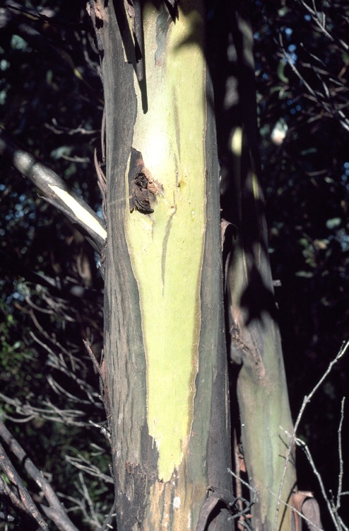 Johnston's gumJohnston's gum · 2.2 mi
 Tara HillMountain / peak · 2.3 mi
 Laraheen HillMountain / peak · 3.3 mi
 Kia Ora Mini FarmHeritage attraction · 3.8 mi
 White Heaps 1798Memorial · 4.2 mi
 Market HouseHeritage attraction · 4.4 mi