What is recorded here
Located on a slight NW-facing slope. Centre-line testing (E4067) in advance of the N25 New Ross by-pass identified a spread of broken and burnt stone that was set aside for resolution as Berkeley 2 (Doyle et al 2010, 44). When it was excavated (E4121) it proved to be a rectangular trough (dims 2.7m E-W; 2.1m N-S; D 0.5m) with 52 associated stake-holes and post-holes which had a circular pit (diam. 2.8-3m; D 0.54m) that was filled with silty clays and small amounts of charcoal immediately to the E. A small spread of burnt and broken stones (4.5m NNW-SSE; 2m ENE-WSW; D 0.1m) was W of the trough and had been cut by a pit (dims 1.57m E-W; 1.27m N-S; D 0.48m). There was a small pit (dims 0.9m N-S; 0.7m E-W; D 0.44m) 2.6m to the N. (Clark and Hackett 2010h, 8-16; Hackett 2013)
Compiled by: Michael Moore
Date of upload: 24 September, 2013
Burnt mound, likely dating to the Neolithic or Bronze Age. Its significance lies in providing evidence of ancient domestic or ritual activity, though specific function remains unresolved.
The monument record does not grant public access. Check the route and ask the landowner before entering private land.
- What survives
- Recorded monument
Places near here
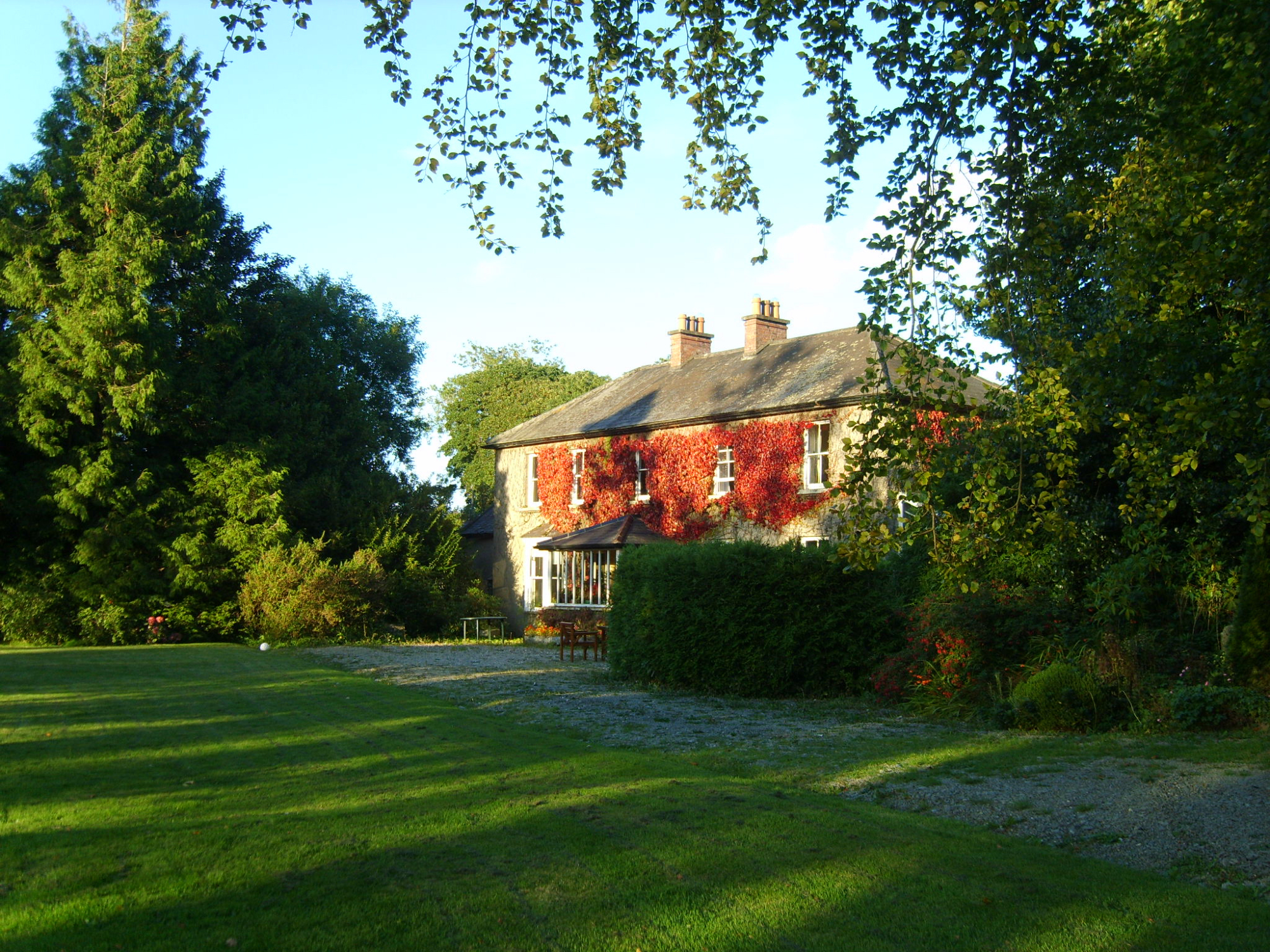 Knockroe Housefarm house · 298 yd
 Site of R. C. ChapelChurch · 649 yd
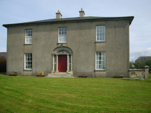 Sweetmount Housefarm house · 1381 yd
 Embanked enlcosureFairy fort / earthen ringfort · 1711 yd
 Castle (in ruins)Castle, unclassified · 1.0 mi
 Site of CastleCastle, unclassified · 1.2 mi
 Forest Of The DunbrodyForest · 1.3 mi
 Lacken HillMountain / peak · 1.5 mi
 Silver WattleSilver Wattle · 3.9 mi
 Crutched FriarsMemorial · 4.0 mi
 Carrickbyrne HillMountain / peak · 4.6 mi
 Glenour MonumentMemorial · 6.0 mi