What is recorded here
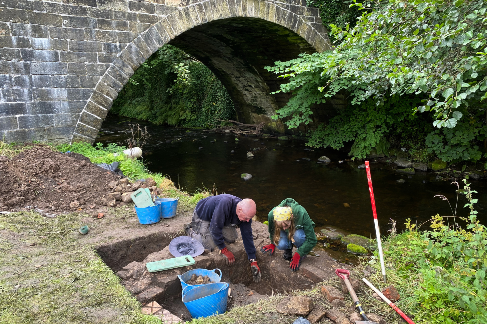
Situated on a slight E-facing slope with a S-N stream c. 140m to the E. Identified in centre-line testing (05E0763) of the alternate route of the N25 Waterford city bypass (Russell 2008b), and excavated completely (E3442) as Bawnfune 6 during 2007 (O'Hara 2010g). A very thin circular spread of burnt stone (diam. c. 5m; T 5cm) overlay a large pit (diam. c. 2m; D 0.68m), three smaller pits, and some stake-holes. The mound and largest pit were truncated by the limit of the road take at SE, but a sample from this pit produced a C14 date of BC 750-390. Fulacht fia (WA017-132----) is c. 100m to the WSW. (O'Hara 2009a; O'Hara and Ginn 2011j)
O'Hara, A. (2009a) N25 Waterford bypass alternative route. Archaeological investigation. Contract 1. Final report on the Archaeological excavation of Bawnfune 6. E3442. Unpublished report. DEHLG. Archaeological Consultancy Services.
O'Hara, R. (2010g) Bawnfune 6. Possible burnt mound activity. in I. Bennett (Ed.) Excavations 2007: summary accounts of excavations in Ireland, 511-12, No. 1806. Wordwell. Dublin.
O’Hara, R. and V. Ginn (2011j) Bawnfune 6, Co. Waterford. in J. Eogan and E. Shee-Twohig (2011) Cois tSiúire – nine thousand years of human activity in the lower Suir valley. Archaeological excavations on the N25 Waterford city bypass, vol. 2, 18. NRA road scheme: Monograph 8, Dublin
Russell, I. (2008b) Various townlands. in I. Bennett (Ed.) Excavations 2005: summary accounts of excavations in Ireland, 361, No. 1481. Wordwell. Dublin.
Compiled by: Michael Moore
Date of upload: 13 May 2011
Burnt mound in Bawnfune is a Neolithic ritual or industrial site, dating to the 4th–3rd millennium BCE. Its significance lies in providing evidence of early human activity, possibly related to heat treatment of stones for ceremonial or practical purposes.
The monument record does not grant public access. Check the route and ask the landowner before entering private land.
- What survives
- Recorded monument
Places near here
 Fulacht fia in Bawnfune (gaultiere By., Lisnakill Par.)Fulacht fia · 93 yd
 Burnt mound in Bawnfune (gaultiere By., Lisnakill Par.)Burnt mound · 305 yd
 KilnKiln, corn-drying · 453 yd
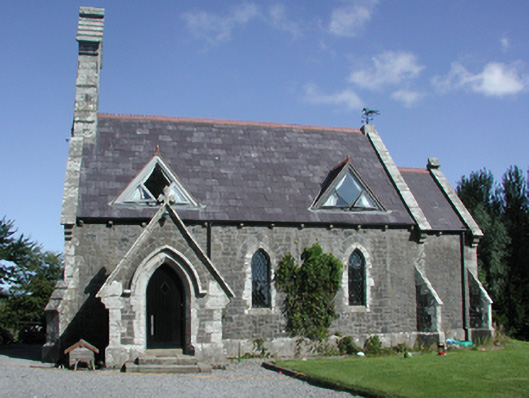 Killoteran Churchchurch/chapel · 751 yd
 Mount Congreve GardensHeritage attraction · 1649 yd
 Native Irish Tree TrailWood · 1.2 mi
 Monterey CypressMonterey Cypress · 1.2 mi
 CastleCastle, unclassified · 1.8 mi
 Corluddy Castle (in Ruins)Castle, tower house · 2.0 mi
 Sugar Loaf RockMountain / peak · 2.1 mi
 Waterford & Suir Valley RailwayHeritage attraction · 2.4 mi
 Ballyscanlon HillMountain / peak · 5.0 mi
Other information
Photo: Credit not shown in the picture search · Rights wording not checked; contact us if this picture should be removed