What is recorded here
In tillage, on level ground, near the top of a hill. A roughly oval mound (18m E-W; 9m N-S; H 0.4m) of heat-shattered stones and charcoal-enriched soil, on the S side of a field boundary. A spring well, which was indicated on the 1934 OS 6-inch map on the N side of the field boundary, appears to have been drained. The ground adjacent to the burnt mound to the E, S and W becomes waterlogged in winter and is being covered with rubble.
The above description is derived from 'The Archaeological Inventory of County Cork. Volume 5' (Dublin: Stationery Office, 2009).
Date of upload: 22 December 2009
Burnt mound in Bawnard West is a Bronze Age ritual or industrial site, characterized by a mound of heat-shattered stones and charcoal. Its location near a spring suggests possible ritual use or water-related activity.
The monument record does not grant public access. Check the route and ask the landowner before entering private land.
- What survives
- Recorded monument
Places near here
 Burnt mound in Bawnard WestBurnt mound · 372 yd
 Rathcoursey East Househouse · 792 yd
 Lochcarrighouse · 946 yd
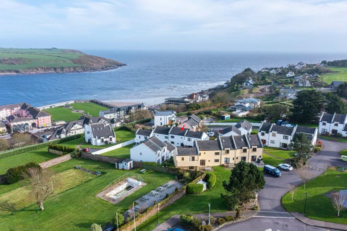 Fulacht fia in Bawnard EastFulacht fia · 1101 yd
 Garrankinnefeake GraveyardRuins · 1704 yd
 Bagwells TowerCastle · 1.5 mi
 Edward BransfieldMemorial · 1.5 mi
 Tower WoodForest · 1.5 mi
 Japanese cedarJapanese cedar · 1.6 mi
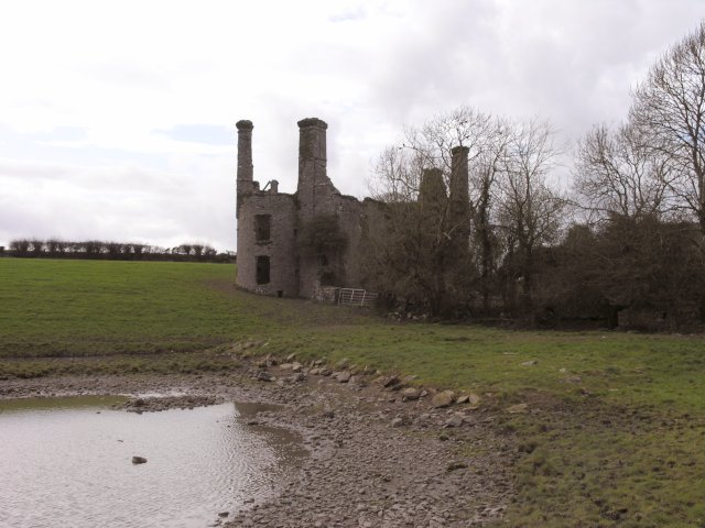 Ballyannan Castle (in Ruins)House, fortified house · 1.6 mi
 Noel Collins BridgeVisitor information · 2.0 mi
 Site of old schoolHeritage attraction · 2.4 mi