What is recorded here
This is the record for two adjacent burnt mounds excavated by Anne Connolly (97E0128) as part of the Arklow bypass scheme. One was a subcircular spread of burnt material (c. 7m NE-SW; 5.5m (NW-SE; depth 0.2m) from which one fragmented piece of worked flint was recovered. The second spread of burnt material was broadly subcircular in shape (12.5m NE-SW; 10.8m NW-SE; max. depth 0.45m). Associated with these a wooden platform consisting of narrow lengths of wood covering an area 1.9m in length and 1.4m in width. Beneath this platform was a series of wooden stakes which did not form any clear patterns. A sample from this wood was dated by dendrochronology and had a felling date of late-856 BC/early-855 BC. (http://www.excavations.ie/Pages/Details.php?Year=&County=Wicklow&id=4119)
Compiled by: Denis Power
Date of upload: 25 January 2013
Burnt mound in Ballynattin is a Bronze Age ritual or industrial site, characterized by heaps of heat-shattered stones, likely used for water heating. Its significance lies in providing evidence of domestic or ceremonial activity associated with early settled communities in the region.
The monument record does not grant public access. Check the route and ask the landowner before entering private land.
- What survives
- Recorded monument
Places near here
 Enclosure in BallynattinEnclosure · 235 yd
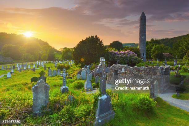 Site of Killynee Chapel and GraveyardChurch · 583 yd
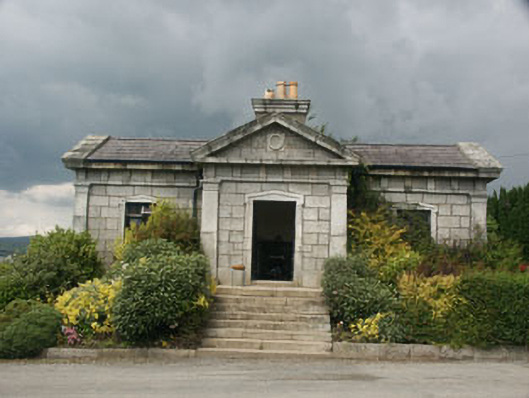 Saint Gabriel's Cemeterybuilding misc · 1318 yd
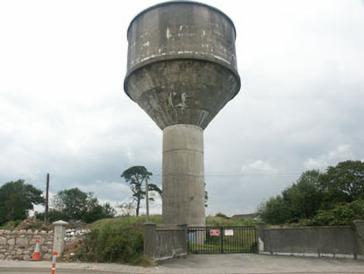 water towerwater tower · 1678 yd
 Battle of Arklowbattle · 1694 yd
 The CoveBeach / strand · 1.3 mi
 Arklow RockMountain / peak · 1.3 mi
 Castle (in ruin)Castle, Anglo-Norman masonry castle · 1.4 mi
 South BeachBeach / strand · 1.5 mi
 TuliptreeTuliptree · 2.4 mi
 European YewEuropean Yew · 2.4 mi
 CastleCastle, unclassified · 2.9 mi