What is recorded here
Archaeological excavation (Licence No. 02E0170) revealed three burnt spreads: Area 1 contained a semi-circular mound (dims. 8.7m E-W; 5.6m N-S) which overlay a number of depressions, interpreted as possible sockets for stones. A partially timber-lined, rectangular trough (dims. L 2.2m; Wth 1.2m; D 0.38m) lay 1.5m to the SW. Area 2, upslope from Area 1, contained a sub-rectangular mound (dims. L 10.15m E-W; Wth 4.7m) and two troughs lay immediately to the SW; the larger (dims. L 2.8m; Wth 1.8m; D 0.5m) was partially surrounded by large granite boulders and the smaller trough measured 1.74m by 1.08m and was 0.25m deep.
Area 3 contained a mound (dims. L 8.15m E-W; Wth 1.7m) (Bennett 2004, 527-28).
Date of upload: 23 October 2012
Burnt mound in Ballynabarny is a Bronze Age ritual or industrial site, characterized by heat-related features such as fire-cracked stones. Its significance lies in providing evidence of prehistoric land use and possible ceremonial activity in the region.
The monument record does not grant public access. Check the route and ask the landowner before entering private land.
- What survives
- Recorded monument
Places near here
 Saint Joesph's Catholic Churchchurch/chapel · 1097 yd
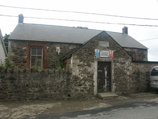 Rathnew National Schoolschool · 1137 yd
 Font in CommonsFont · 1158 yd
 CastleCastle, unclassified · 1285 yd
 European YewEuropean Yew · 1317 yd
 Enclosure in TinakellyEnclosure · 1.0 mi
 Sessile OakSessile Oak · 1.2 mi
 Round MountCastle, motte · 1.9 mi
 Carrick MountainMountain / peak · 3.1 mi
 Glen Beach Cliff WalkWalking route · 3.4 mi
 Silver StrandBeach / strand · 4.0 mi
 Kilpoole BeachBeach / strand · 4.3 mi