What is recorded here
In flat, rush-grown boggy pasture, located at the base of a steep SW-facing ridge slope.
A layer (L c. 4m) of shattered stone in charcoal-rich soil is visible in section in a N–S field fence/property boundary (Wth 1.6m), and in the sides of the two field drains that flank the field fence.
A burnt mound (MA103-077----) is located c. 10m to W, and there are two possible burnt mounds (MA103-078001; MA103-078002) c. 5m to SSE.
Compiled by: Jane O’Shaughnessy
Date of upload: 23 November 2022
Burnt mound; likely dating to the Bronze Age. Its significance lies in its association with ritual or industrial activities, such as heat-treated stone use in cooking, hide processing, or ceremonial practices.
The monument record does not grant public access. Check the route and ask the landowner before entering private land.
- What survives
- Recorded monument
Places near here
 IndicatedFairy fort / earthen ringfort · 584 yd
 Kiltullagh ChurchChurch · 1549 yd
 Lisheenbantragh FortFairy fort / earthen ringfort · 1740 yd
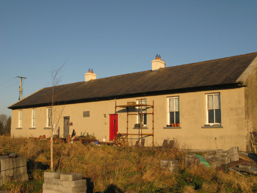 Saint Joseph's National Schoolschool · 1.4 mi
 CastleCastle, unclassified · 2.0 mi
 Slieve DartMountain / peak · 3.6 mi
 Castle in ruinsCastle, unclassified · 6.6 mi
 East Mayo Brigade MonumentMemorial · 11 mi
 European ashEuropean ash · 14 mi
 Mass RockNamed rock · 16 mi
 KnockmaaWood · 19 mi
 Field system in Barrinagh (castlereagh By.)Field system · 1.5 mi