What is recorded here
Located on a gentle E-facing slope. An area of broken and burnt stones (diam. c. 11m) is visible in a ploughed field. Burnt mound (WX021-038----) is immediately to the SW, and burnt mound (WX021-037----) is c. 45m to the NW.
Compiled by: Michael Moore
Date of upload; 15 June, 2012
Burnt mound, likely dating to the Bronze Age (c. 2500–500 BCE). These features are commonly associated with ritual or industrial activities, such as heat-treated stone use in cooking, hide processing, or ceremonial practices.
The monument record does not grant public access. Check the route and ask the landowner before entering private land.
- What survives
- Recorded monument
Places near here
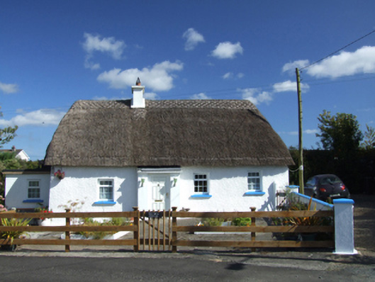 Old Mill Cottagehouse · 776 yd
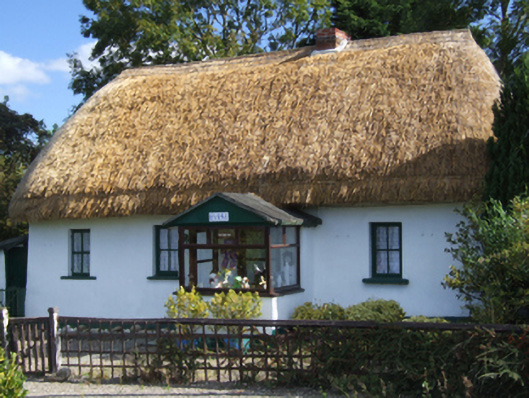 Dreybrinehouse · 808 yd
 St Molings WellHoly well · 1300 yd
 Enclosure in CourtballyedmondEnclosure · 1503 yd
 Bird BoxesVisitor information · 1.5 mi
 Fontainebleau service treeFontainebleau service tree · 1.7 mi
 Birds of PreyVisitor information · 1.7 mi
 Father Murphy CentreHeritage attraction · 3.2 mi
 Kilnamanagh Grave YardArchaeological place · 3.3 mi
 Boley HillMountain / peak · 3.4 mi
 Carrigroe HillMountain / peak · 3.4 mi
 The CoilWood · 3.5 mi