What is recorded here
Situated on a slight NW-facing slope. Monitoring of topsoil removal (E004646) during the construction phase of the M11 Gorey to Enniscorthy motorway in September 2016 identified a burnt mound which was only partially excavated (E004789) in January 2017 as it extended to the NE outside the boundary of the land-take. It consists of a spread of broken and burnt stone (dims 10.6m N-S; 5m E-W; max. T 0.12m) which was truncated at W by a modern NNE-SSW field drain. No trough or other features were recorded and nor were any artefacts recovered but analysis of environmental remains revealed the dominant presence of oak with some hazel. A sample of hazel charcoal produced a C14 date of 2136-1950 cal. BC. (Whitty and Kavanagh 2018)
Compiled by: Michael Moore
Date of upload: 3 November 2020
Burnt mound in Ballydawmore is a Neolithic ritual or industrial site, dating to approximately 4000–2500 BCE. Its significance lies in providing evidence of early human activity and land use in the region, potentially linked to ceremonial practices or heat-related processes.
The monument record does not grant public access. Check the route and ask the landowner before entering private land.
- What survives
- Recorded monument
Places near here
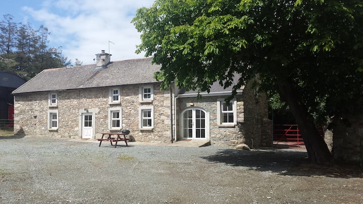 Enclosure in BallydawmoreEnclosure · 69 yd
 Fulacht fia in BallydawmoreFulacht fia · 260 yd
 KilnKiln, corn-drying · 768 yd
 Kiln in Corbally (scarawalsh By.)Kiln · 961 yd
 Battle of Vinegar Hill, 1798Monument · 2.1 mi
 Vinegar HillMountain / peak · 2.1 mi
 U.N. Peace MemorialMonument · 2.8 mi
 Battle of Vinegar HillMajor battlefield · 2.8 mi
 Duffry GateMemorial · 2.8 mi
 National 1798 CentreMuseum · 2.9 mi
 Daphney CastleCastle, unclassified · 4.1 mi
 CastleCastle, ringwork · 4.4 mi