What is recorded here
Situated on a fairly level landscape. Archaeological monitoring (08E0976) of a sewer trench under existing roads on the outskirts of Ballinlough recorded evidence of a burnt mound in section as a layer of broken and burnt stones (L 11m NW-SE; T c. 0.5m) c. 0.5m beneath the road surface. It was confirmed in a small trench on the other side of the road, so that it would appear to be preserved beneath the road (dim. c. 9m NE-SW). A sample produce evidence of alder, hazel and oak, and produced a C14 date of 1048-851 cal. BC. Rath (RO025-017001-) is c. 115m to the SE.(Ruttle 2011b; Taylor 2012a)
Compiled by: Michael Moore
Date of upload: 7 February, 2012
Burnt mound, likely dating to the Bronze Age. These features are commonly associated with ritual or industrial activities, though their exact function remains debated.
The monument record does not grant public access. Check the route and ask the landowner before entering private land.
- What survives
- Recorded monument
Places near here
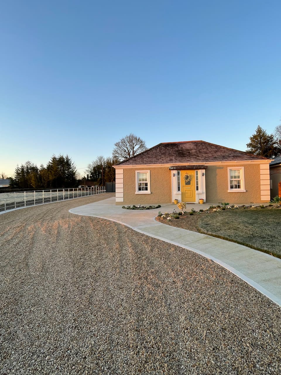 Embanked enclosureFairy fort / earthen ringfort · 133 yd
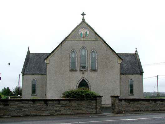 Catholic Church of the Immaculate Conceptionchurch/chapel · 192 yd
 Lavan'shouse · 540 yd
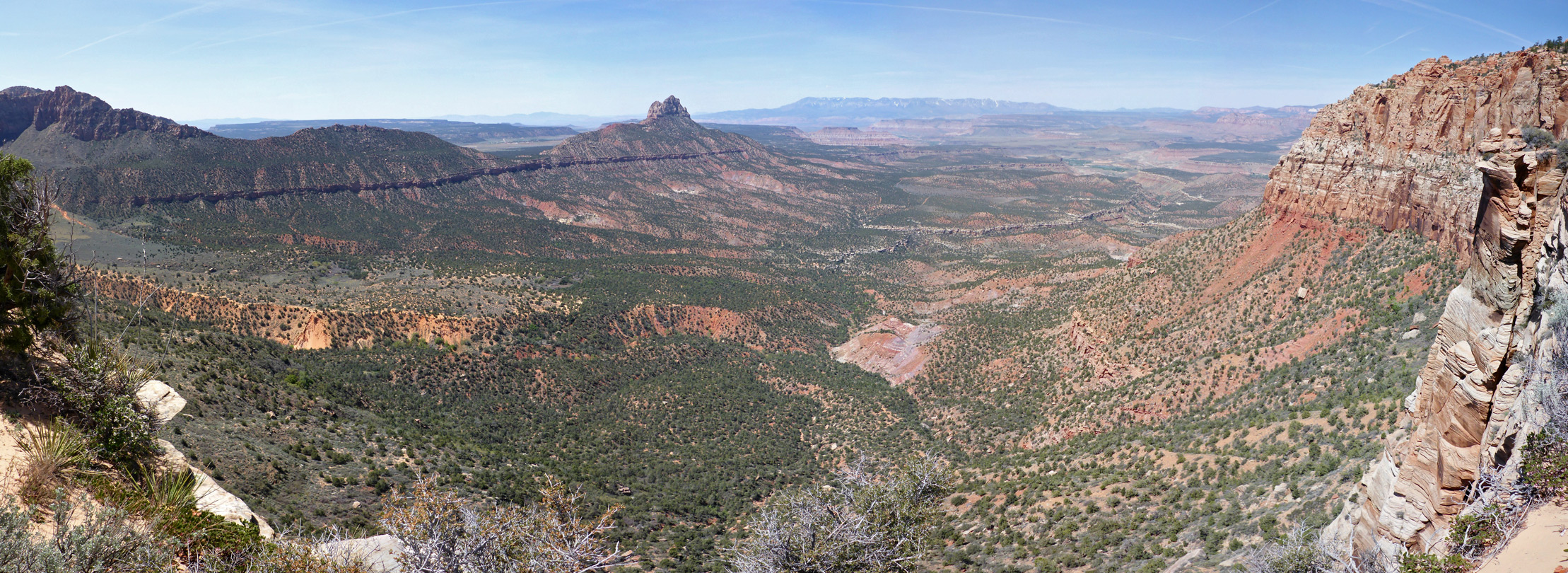 Enclosure in Mountain LowerEnclosure · 1.1 mi
 CastleCastle, unclassified · 2.8 mi
 Coolougher WoodForest · 3.0 mi
 Clonalis HouseMuseum · 5.3 mi
 Slieve DartMountain / peak · 5.9 mi
 Castle (in ruins)Castle, unclassified · 6.2 mi
 Site of Killomaine Grave YardArchaeological place · 9.5 mi
 East Mayo Brigade MonumentMemorial · 12 mi
 Crow IslandIslet · 17 mi