What is recorded here
Fire cracked the sandstone before the road was dreamed, leaving a shallow black scar fifteen metres wide on dry ground above the wet forestry plot. Trots of men may have heated water for cooking or cleaning, then departed into the long green silence. The mound never rose high enough for pride, only deep enough to mark the edge of human urgency. It waited beneath the soil while carts and plans passed overhead, unchanged and patient.
This site was uncovered during test trenching (licence no. 20E0489) , carried out on areas proposed for use as spoil deposition areas related to road improvements along the R556 Dale Road, Abbeydorney, Co. Kerry.
This burnt spread is situated on dry ground, approximately 50m to the N of a large area of wet ground, recently planted for forestry, The monument measures 13m N-S by 16m E-W and comprised a spread of burnt and fire-cracked sandstone in a matrix of black soil. It had a maximum height of 0.20m. It had no above ground register, and no trough area was visible.
Compiled by: Frank Coyne
Date of upload/revision: 8 March 2022
Burnt mound in Ballincloher is a Neolithic ritual or industrial site, dating to approximately 4000–2500 BCE, characterized by the presence of heat-shattered stones and fire-cracked rock. Its significance lies in providing evidence of early human activity, possibly related to cooking, feasting, or ceremonial practices in the region.
The monument record does not grant public access. Check the route and ask the landowner before entering private land.
- What survives
- Recorded monument
Places near here
 Burnt spread in BallincloherBurnt spread · 208 yd
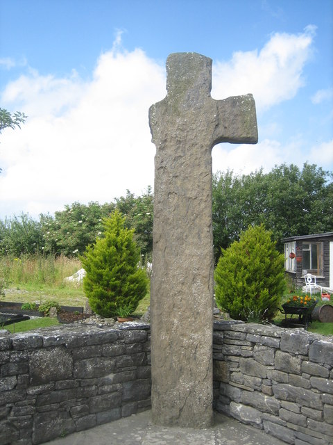 CrossCross, High cross · 1059 yd
 Ballymacaquinn Castle (remains of)Castle · 1.6 mi
 Church in Kilcooly NorthChurch · 2.1 mi
 Abbeydorney Monastery (in ruins)Religious house, Cistercian monks · 2.4 mi
 Kilflynn Nature ReserveNature reserve · 3.7 mi
 Castle (in ruins)Castle, unclassified · 3.8 mi
 Tobar na MoltSpring · 4.9 mi
 Ardfert Franciscan FriaryVisitor information · 5.4 mi
 Ardfert FriaryVisitor information · 5.4 mi
 Pierce's IslandIslet · 5.6 mi
 15th Centenary of the birth of St-BredanMemorial · 5.7 mi