What is recorded here
Hot water raged through that stone for centuries before human hands shaped it. People came later, drawing heat from the mound to cook, clean or survive the river fog. They left behind only broken stone, white ash and charcoal buried under mud. The mound still holds its shape on the north bank, waiting for someone to remember what it was for.
Situated on the N bank of a NW-SE section of the Cavan River Blackwater. Archaeological testing (98E0463) by N. Brady on the S bank of the river uncovered fragments of post-medieval buildings dated by a collection of potsherds, three copper coins and fragment of an inscribed finger-ring dating to the early to mid-seventeenth century for the structures (excavations.ie 1998:498). A deposit beneath the structures yielded a patch of burning with ceramics of a fifteenth century character including a line-impressed floor tile, probably from the adjacent site of St Mary’s abbey (ME025-024----). The post-medieval structures pre-dated the establishment of a cavalry barracks c. 1700.
On the N bank of the river and just W of a mill known as Elliot’s Mill a burnt mound was identified in an archaeological section. It consisted of a band (L 4.75m; max. H 0.9m) of broken and burnt stones with grey sand and charcoal interwoven with three lenses of white ash. The layers were set in a natural grey mud with boulders and lay immediately below topsoil with modern debris. It is preserved in situ. (Brady 1999, 44-7)
Compiled by: Michael Moore
Date of upload: 29 March 2023
Brady, N. 1999 Archaeological Excavation at Abbeyland South, Archaeological recording at Blackcaslte Demesne, Navan Inner Relief Road. Phase 2A. Licence: 98E0463. Unpublished report, Valerie J. Keeley Archaeological Consultancy.
Burnt mound in Abbeyland South is a Neolithic ritual or industrial site, dating to the early first millennium BCE. Its significance lies in providing evidence of ancient domestic or ceremonial activities, though its full context remains partially understood due to limited excavation.
The monument record does not grant public access. Check the route and ask the landowner before entering private land.
- What survives
- Recorded monument
Places near here
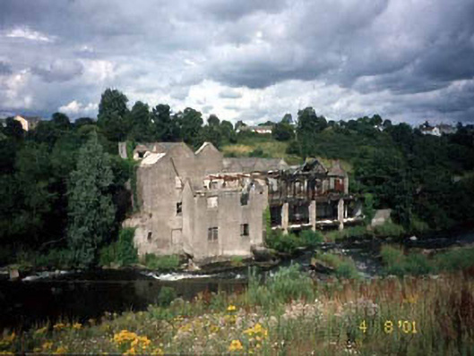 mill (water)mill (water) · 18 yd
 KilnKiln, corn-drying · 46 yd
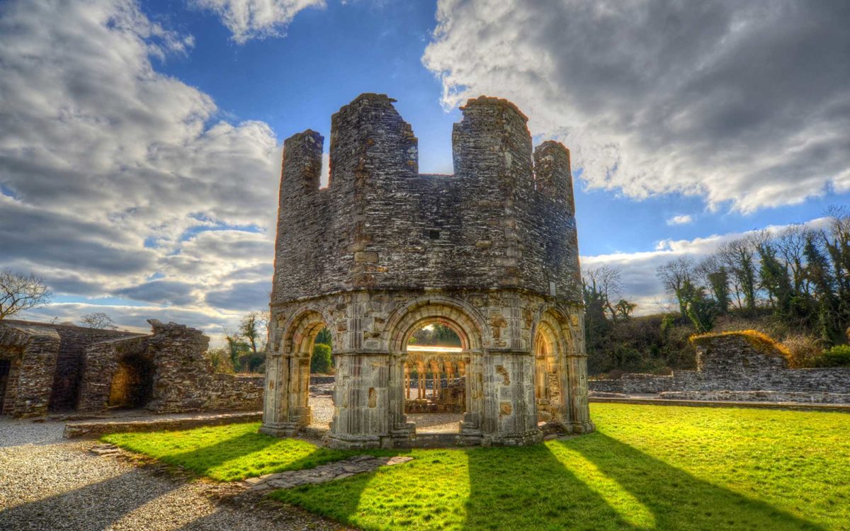 Burnt spread in Abbeyland SouthBurnt spread · 80 yd
 Font in Abbeyland SouthFont · 160 yd
 The RampartWood · 634 yd
 CastleCastle, motte · 1165 yd
 Nangle CourtMemorial · 1200 yd
 Blackcastle DemesneWood · 1.4 mi
 Donaghmore Round TowerHeritage attraction · 1.4 mi
 Rathaldron Ho.Castle, tower house · 1.6 mi
 Carn HillMountain / peak · 2.6 mi
 BohermeenMountain / peak · 3.6 mi