
What is recorded here
Map note: Near East Kinwhirrie, Angus, Scotland, the map records Burnmouth Cottage as a geological cropmark. There is no need to invent a lost kingdom to make the name interesting.
Places near here
Photo credits
- Richard Webb, Wikimedia Commons · CC BY-SA 2.0
- William Starkey, Wikimedia Commons · CC BY-SA 2.0
- Mike Pennington, Wikimedia Commons · CC BY-SA 2.0
- Scott Cormie, Wikimedia Commons · CC BY-SA 2.0
- Darrin Antrobus, Wikimedia Commons · CC BY-SA 2.0
- Maker not stated on source page, www.dreamstime.com
- Sandy Gerrard, Wikimedia Commons · CC BY-SA 2.0
- Maker not stated on source page, www.pinterest.com
 MuirhousesRoad · 930 yd
 CaddamCropmark(s), Man-made underground passage (prehistoric) (possible) · 1005 yd
 Caddam Standing StoneArchaeological place · 1127 yd
 Meams FarmCairn (prehistoric) · 1638 yd
 Over MigvieBead (bone), Cinerary Urn · 1661 yd
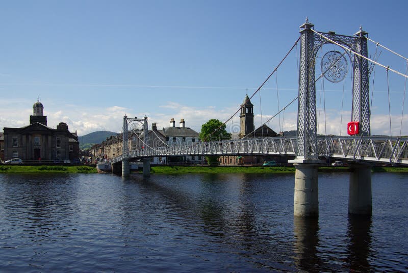 Inverquharity BridgeRoad Bridge · 1666 yd
 Prosen BridgeRoad Bridge · 1681 yd
 Caddam WoodWood · 1696 yd
 Castle Hill, MeamsFort (prehistoric) · 1.7 mi
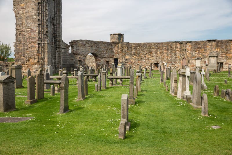 Mapped graveyardGraveyard · 1.8 mi
 Milehill PlantationWood · 2.1 mi
 Mile HillMountain / peak · 2.2 mi
More archaeology and monuments in Angus · All of Angus

What do you know about this place?Tap to add a comment or ask a question