What is recorded here
Map note: Burnhouse Strip, a wood, is mapped near Douglas, South Lanarkshire, Scotland. The landscape can keep its secrets; the map gives away the location.
From OpenStreetMap (© OpenStreetMap contributors) w380536456
Places near here
Photo credits
- Mary and Angus Hogg, Wikimedia Commons · CC BY-SA 2.0
- Maker not stated on source page, www.tripadvisor.co.uk
- Maker not stated on source page, www.tripadvisor.com.sg
- Billy McCrorie, Wikimedia Commons · CC BY-SA 2.0
- Jim Barton, Wikimedia Commons · CC BY-SA 2.0
- Maker not stated on source page, www.tripadvisor.ru
- Mike Pennington, Wikimedia Commons · CC BY-SA 2.0
- Gordon Brown, Wikimedia Commons · CC BY-SA 2.0
- Maker not stated on source page, commons.wikimedia.org
- Leslie Barrie, Wikimedia Commons · CC BY-SA 2.0
- Chris Wimbush, Wikimedia Commons · CC BY-SA 2.0
 Lady Home HospitalHospital · 239 yd
 Douglas, Old St Bride's Parish ChurchChurch (18th Century) · 554 yd
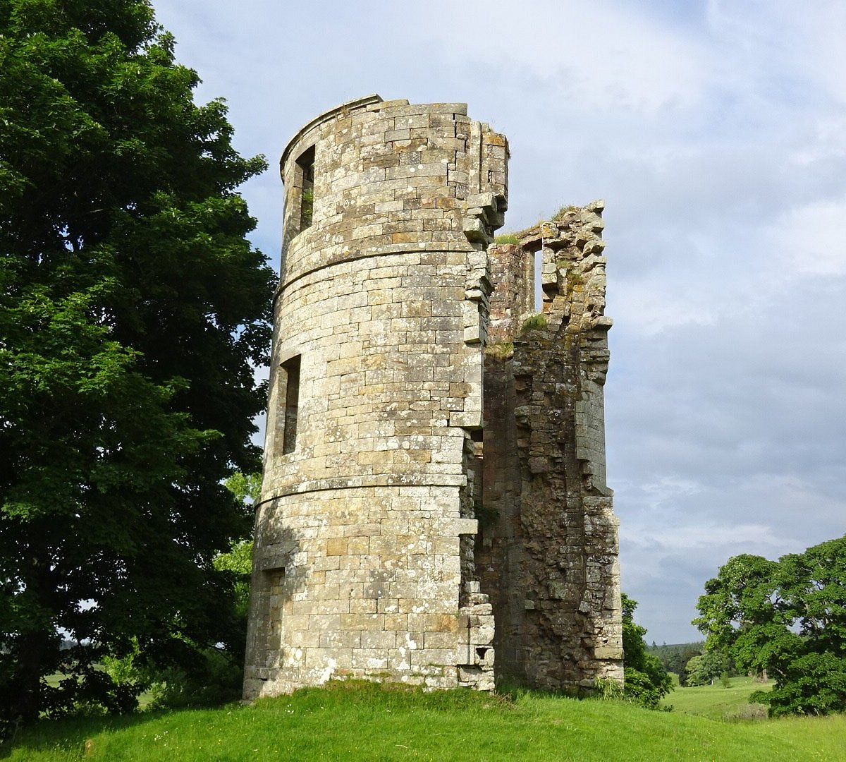 Douglas, Douglas Castle, Golf CourseGolf Course (20th Century) · 565 yd
 Douglas, Colonel's Entry, Gallow Knowe, Military CampMilitary Camp (20th Century) · 630 yd
 Polish Memorial GardenMemorial · 651 yd
 Douglas, 4 Clyde Road, Free Church SchoolSchool (19th Century) · 663 yd
 Douglas, St Bride's ChurchBurial Ground (15th Century), Church (14th Century), Churchyard (medieval), Covenanters Grave (18th Century), Gravestone (19th Century) · 722 yd
 Douglas, Main Street, James Gavin's CairnCommemorative Cairn (20th Century) · 745 yd
 James Gavin MemorialMemorial · 746 yd
 Douglas Heritage MuseumMuseum · 767 yd
 Douglas CastleGarden · 1148 yd
 Townhead WoodForest · 1311 yd
More woods, forests and old trees in South Lanarkshire · All of South Lanarkshire

What do you know about this place?Tap to add a comment or ask a question