
What is recorded here
Situated on a slight rise in undulating countryside with limited views. Low flat topped mound (8m N-S; 7m E-W; H 1.5m) with a circular depression (Wth 3m; D 0.5m) on top with slight evidence of a fosse enclosing the base of the mound which was impossible to examine due to overgrowth. The central depression on top appears to be the result of an uprooted tree rather than quarrying because there is no evidence of stone in the composition of the mound.
The above description is derived from the published 'Archaeological Inventory of County Offaly' (Dublin: Stationery Office, 1997). In certain instances the entries have been revised and updated in the light of recent research.
Date of upload: 23 May 2011
Bronze Age burial mound, possibly a cairn with fosse; associated with the broader ritual landscape of the Hill of Tara, indicating its ceremonial and funerary significance in early Irish society.
The monument record does not grant public access. Check the route and ask the landowner before entering private land.
- What survives
- Recorded monument
Places near here
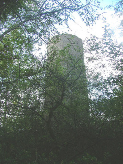 Belview Towerfolly · 542 yd
 Enclosure in ConikerEnclosure · 969 yd
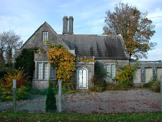 Durrow Abbeygate lodge · 1242 yd
 High WoodWood · 1.0 mi
 Durrow MoatCastle, motte · 1.2 mi
 St. Columbkilles WellHoly well · 1.3 mi
 St. Columba's WellSpring · 1.4 mi
 European ashEuropean ash · 1.6 mi
 CastleCastle, unclassified · 1.7 mi
 Trumpet HillMountain / peak · 3.1 mi
 Kilmalady HillMountain / peak · 3.2 mi
 Clara Bog BoardwalkHeritage attraction · 3.4 mi
Other information
Photo: Credit not shown in the picture search · Rights wording not checked; contact us if this picture should be removed