What is recorded here
Situated on the shoulder of a hill, with a marshy area at the foot of the hill to W, in pasture, with good views to W. Not depicted on the 1837 ed. OS 6-inch map, however quarrying evident in same field c. 170m to SE. Located at OS Trig. Station/spot height (99m/324ft OD) on the revised 1913 ed. OS 25-inch map and current ed. OS 6-inch map.
Described in 1983 as a low, circular-shaped mound (diam. 12m; H 1-2m) with a small, irregular-shaped raised area (diam. 3-4m) in the centre which has an uneven and quite disturbed appearance. A curvilinear earthen bank extends from the mound at E. Much of the area around the bank has been disturbed, leaving a series of humps and hollows on the surface of the field. There is a deep, broad circular depression on the NW side of the mound that appears to be the result of quarrying. Monument is not clearly visible on Digital Globe aerial photography, however a broad, roughly oval depression (approx. dims. 55m NW-SE; 58m NE-SW) adjoining to W, is clearly evident and probably represents the remains of post-1700 quarrying. Could be the remains of a burial mound or that of a stepped-barrow however the presence of the OS trig. station may suggest that the mound was altered or modified by the OS. Quarrying of post-1700 date immediately to W has also altered the condition of the earthwork.
Compiled by: Alison McQueen, Vera Rahilly and Caimin O’Brien
Date of upload: 11 January 2019
The monument record does not grant public access. Check the route and ask the landowner before entering private land.
- What survives
- Recorded monument
Places near here
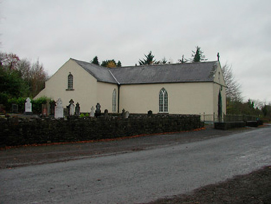 Saint Michael's Catholic Churchchurch/chapel · 920 yd
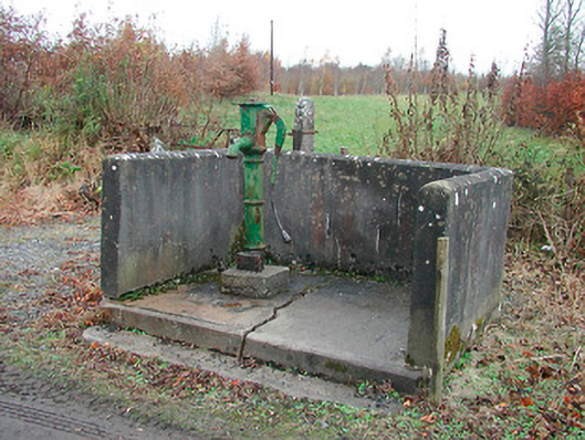 water pumpwater pump · 1003 yd
 OutlinedFairy fort / earthen ringfort · 1164 yd
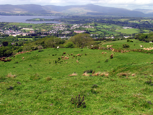 Partially hachuredFairy fort / earthen ringfort · 1342 yd
 WestmeathVisitor information · 1.7 mi
 Nugent's CastleCastle · 1.8 mi
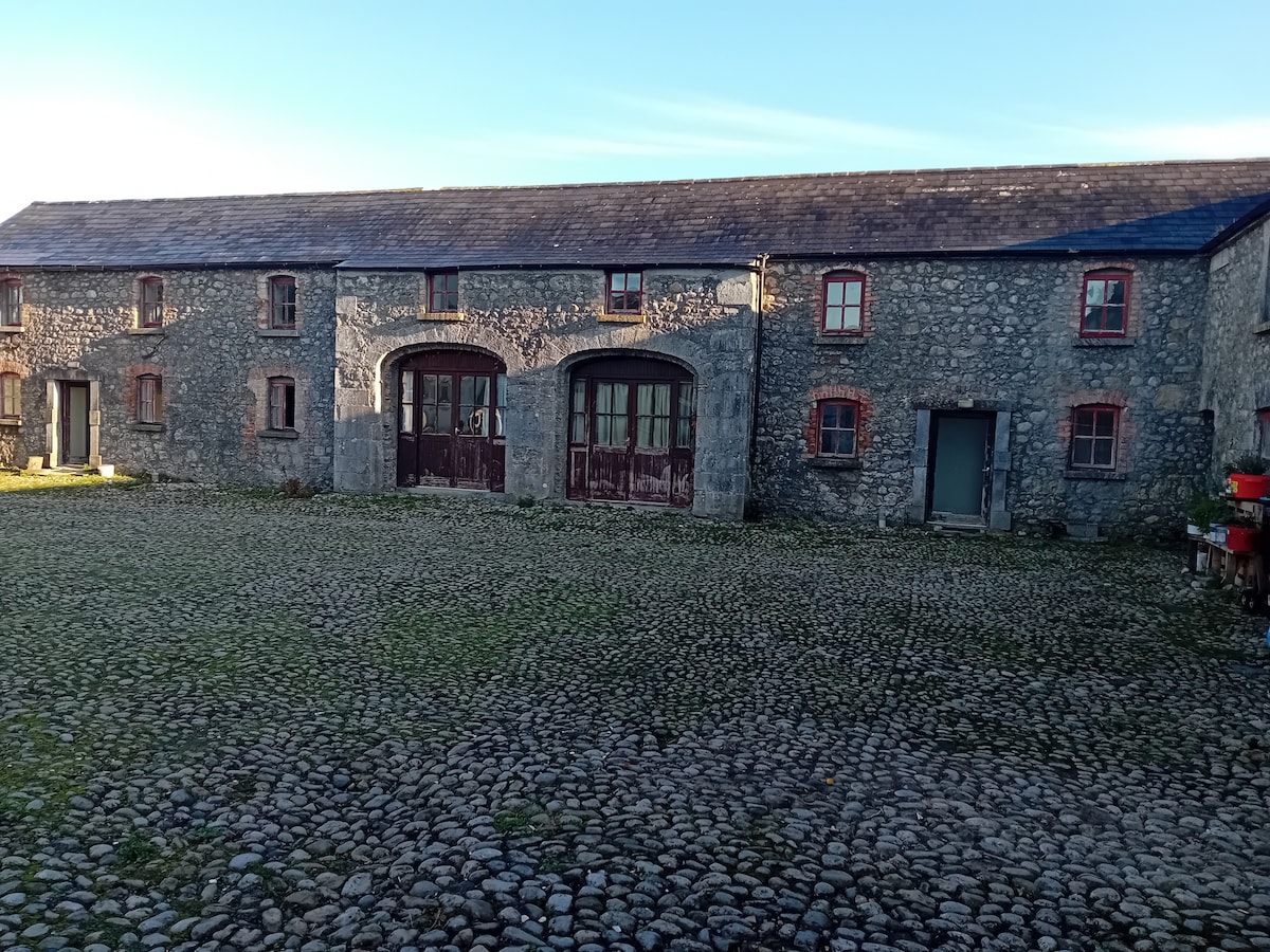 Bawn in BalleagnyBawn · 1.9 mi
 Carrickphilbin IslandIslet · 2.0 mi
 Srudarra IslandIslet · 2.6 mi
 Ancient Ring FortWood · 3.8 mi
 Baronstown ForestWood · 3.9 mi
 Bridge Memorial (Kenna)Memorial · 5.4 mi