What is recorded here
Caroline Carr of the Donegal County Museum identified the huge rectangular earthwork in Maigh Ráithe, yet its origin remains a tangled mystery. The flat-topped mound may be natural river upcast from the nearby Ray River, a forgotten drainage project, or a genuine antiquity where humans later placed their dead. You can walk its broad top and wonder whether you stand on geology, abandoned engineering, or the compressed weight of buried lives.
Identified by Caroline Carr of the Donegal County Museum (2007-). This huge, approx. rectangular earthwork is known locally as a burial mound. It is flat topped. It is not possible to say whether or not this is a (1) naturally-occurring feature, (2) upcast from a long forgotten drainage of the the Ray River in this area, which is located immediately to the W or a genuine antiquity. Alternatively it may be that it is either one of the first two options that was later used for burials.
The monument record does not grant public access. Check the route and ask the landowner before entering private land.
- What survives
- Recorded monument
Places near here
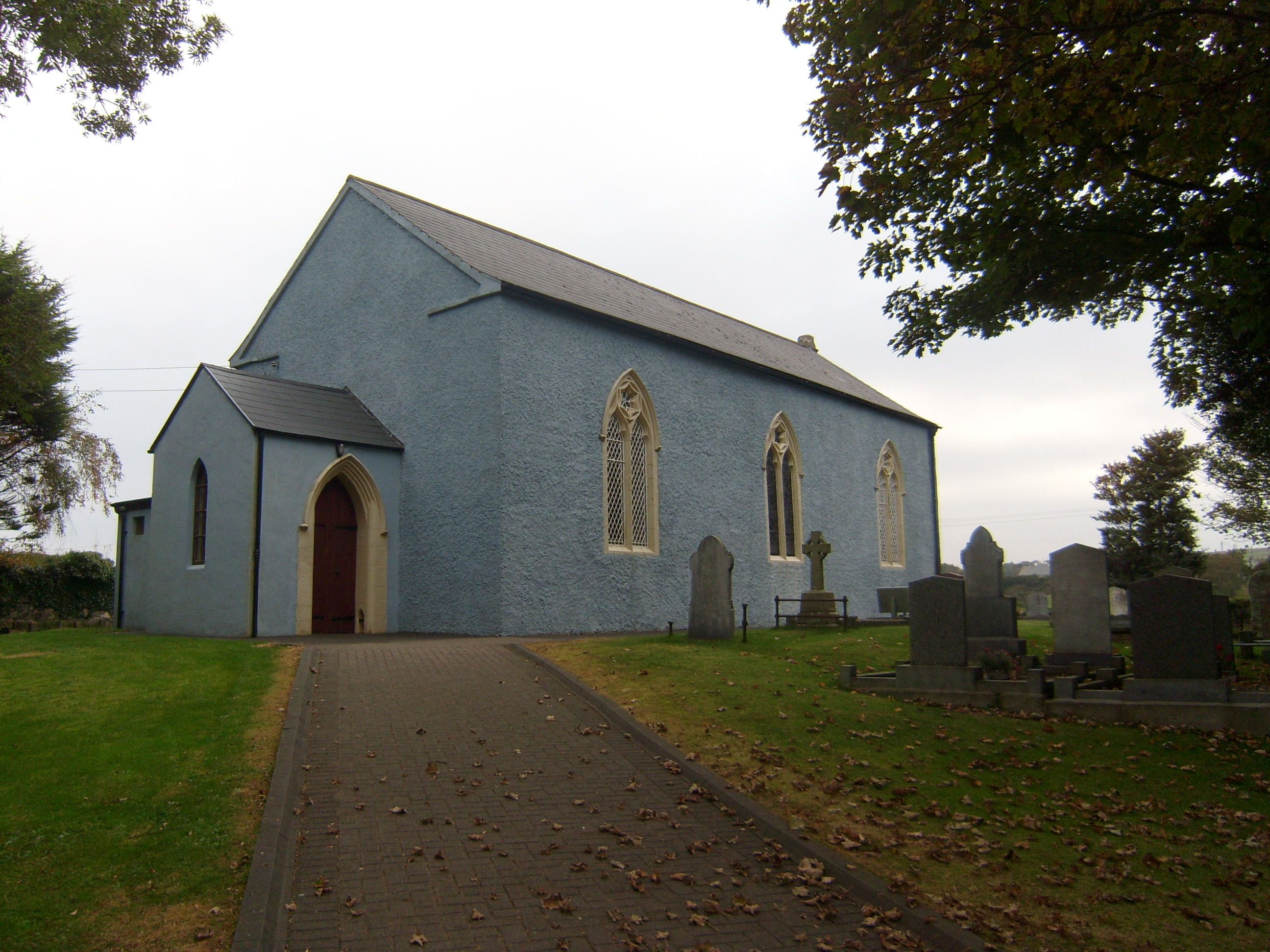 Saint Paul's Church (Raymunterdoney)church/chapel · 186 yd
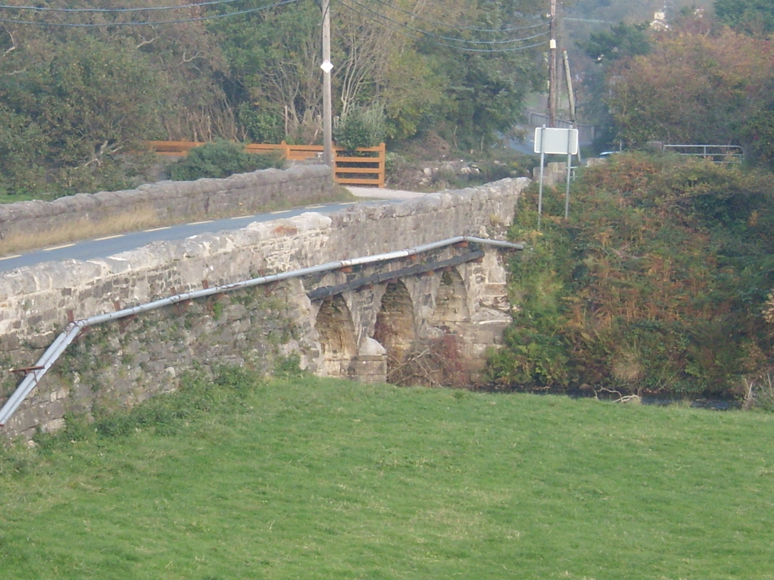 Drumavoghy Bridgebridge · 333 yd
 Stone CrossCross, High cross · 578 yd
 Wych ElmWych Elm · 1451 yd
 Monterey CypressMonterey Cypress · 1500 yd
 Cashelmacadowan FortFairy fort / stone ringfort · 1564 yd
 Trá Dhroim na TineBeach / strand · 1.5 mi
 DrumnatinnyOfficial bathing water · 1.5 mi
 Castle Bawne (in Ruins)Bawn · 1.9 mi
 Boys IslandIslet · 3.8 mi
 Mc Swyne's GunHeritage attraction · 3.8 mi
 Cliffs near Pollaguill BayPublicly named cliff or headland · 3.9 mi