
What is recorded here
Death and memory are tangled there, not proven or dismissed. The mound stands on high ground in Lismoney, County Offaly, with a broken fosse circling it and a wide view running out across the land. Whatever was buried beneath has stopped being obvious, but the shape still marks the place where life was taken seriously enough to shape the earth around its loss.
On high ground in upland area with good extensive views. Circular mound (H 0.7m - 1m; Top diam. 7m; base diam. 12m) enclosed by poorly preserved fosse with no evidence of an external bank. Large stones on top of mound probably the result of recent field clearance while sunken area on top may be due to modern digging.
The above description is derived from the published 'Archaeological Inventory of County Offaly' (Dublin: Stationery Office, 1997). In certain instances the entries have been revised and updated in the light of recent research.
Date of upload: 23 May 2011
Burial mound in Lismoney is likely a Bronze Age cairn, characterized by its circular shape and the presence of large stones on the summit. Its location on high ground suggests it may have had ritual or ceremonial significance, possibly serving as a territorial marker or a site for communal gatherings.
The monument record does not grant public access. Check the route and ask the landowner before entering private land.
- What survives
- Recorded monument
Places near here
 MarkedEnclosure · 230 yd
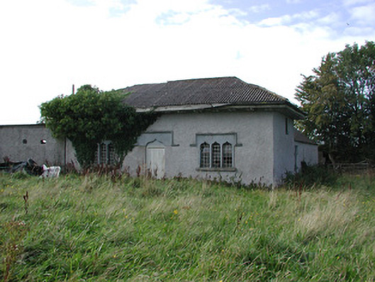 Parterrehouse · 1050 yd
 Waypoint 1Visitor information · 1068 yd
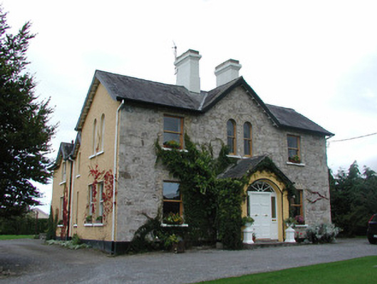 Ardmore Househouse · 1115 yd
 OutlinedCastle, motte · 1153 yd
 Slieve Bloom Mountain Bike TrailVisitor information · 1185 yd
 Mount IvyWood · 1231 yd
 KnocknamanMountain / peak · 1331 yd
 Hilltop enclosure in Cumber Lower,cumber Upper,forelacka,lismoneyHilltop enclosure · 1343 yd
 Kinnitty Castle LoopWalking route · 1445 yd
 Moneyguyneen WoodWood · 1.1 mi
 Castle (Site of)Castle, unclassified · 1.5 mi
Other information
Photo: Credit not shown in the picture search · Rights wording not checked; contact us if this picture should be removed