What is recorded here
In reclaimed pasture on steep NW facing slope of Derk Hill the summit of which (OD 782 ft.) lies 260m to SE. Spring annotated on OSi 25-inch map 38m to SSE. Enclosure (LI033-033002-) 15m to N, possible ringfort (LI033-034----) 45m to SE. Not depicted on OSi maps. Surveyed by the ASI in 2007 and described as a raised oval-shaped flat-topped platform (dims 13m NW-SE; 8m NE-SW) with possible external fosse only visible at NW and NE. May be the remains of a burial mound. Described in 1960 as an ‘earthen mound 48 feet [14.6m] by 39 feet [12m]; 4 feet [1.2m] over field level. Mound is flat on top' (O’Dwyer 1958-61, 113; Knockderk 52). The mound is clearly visible on OSi orthophotos 2005-2012 and visible only as a cropmark on Google Earth orthoimage dated 25/03/2017.
See attached Google Earth orthoimages
Compiled by: Martin Fitzpatrick
Date of upload: 22 March 2021
The monument record does not grant public access. Check the route and ask the landowner before entering private land.
- What survives
- Recorded monument
Places near here
 Enclosure in KnockderkEnclosure · 37 yd
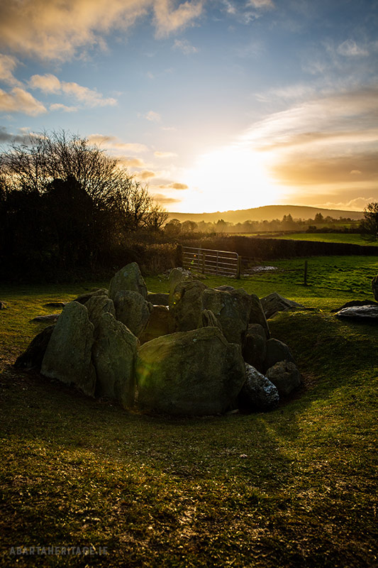 Enclosure in Knockroe (coonagh By.)Enclosure · 776 yd
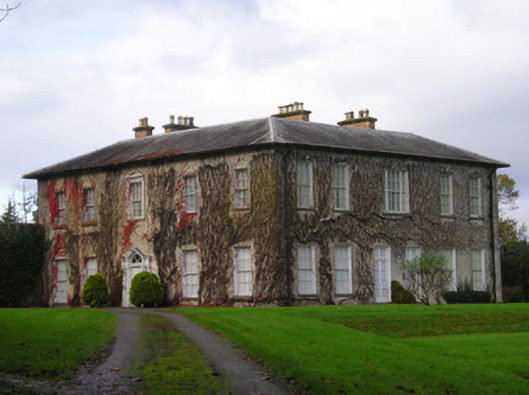 Derkcountry house · 1420 yd
 (Site of) CastleCastle, unclassified · 1.0 mi
 Pallas MoatCastle, motte · 1.1 mi
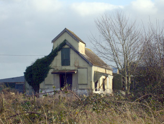 Race Creamerycreamery · 1.1 mi
 St. Patrick's WellSpring · 1.8 mi
 Kilteely HillMountain / peak · 2.0 mi
 KnockseefinMountain / peak · 2.2 mi
 Flat cemetery in Knockainy WestFlat cemetery · 5.6 mi
 St Patrick's WellSpring · 7.1 mi
 Ballinvreena LoopVisitor information · 10 mi