What is recorded here
On top of an E-W esker ridge with good extensive views. Irregular shaped flat topped mound (top diam. 2.6m; ext. H 1.7m; base diam. 5.5m) with evidence of upright kerb stones at E protruding from the base of the mound.
The above description is derived from the published 'Archaeological Inventory of County Offaly' (Dublin: Stationery Office, 1997). In certain instances the entries have been revised and updated in the light of recent research.
Date of upload: 23 May 2011
Bronze Age burial mound, dating to approximately 2000–500 BCE. Its location on an esker ridge suggests a strategic or ceremonial significance, possibly linked to landscape orientation or territorial markers.
The monument record does not grant public access. Check the route and ask the landowner before entering private land.
- What survives
- Recorded monument
Places near here
 Saint Reaghan's WellSpring · 437 yd
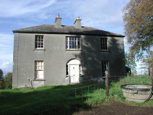 The Rectoryrectory/glebe/vicarage/curate's house · 660 yd
 CastleCastle, unclassified · 676 yd
 Enclosure in KincoraEnclosure · 934 yd
 Kilreaghan Grave YardChurch · 941 yd
 CillínArchaeological place · 1505 yd
 Coole CastleCastle · 1.0 mi
 Ballylin Bog BoardwalkHeritage attraction · 1.2 mi
 Endrim HillMountain / peak · 2.8 mi
 European ashEuropean ash · 3.2 mi
 Cocta HillMountain / peak · 3.6 mi
 Lug Holy WellSpring · 4.2 mi