
What is recorded here
In a low-lying field under tillage. A burial mound (Diam. 25m, H 2m) containing a number of partially stone-lined graves was found here in 1958 (NMI 1958:37A and B). Excavations revealed three graves, two of which were partially stone-protected. Grave 1 cist was rectangular in outline with a long axis running E-W (L 1.4m, wth 0.4m, H 0.2m) and contained the disarticulated remains of two adults with a calibrated date of 418-605 AD. Grave 2 was a simple pit aligned E-W which contained an extended inhumation which dated to 692-962 AD. Grave 3 was a partially slab-lined grave which contained two extended inhumation burials aligned W-E (Cahill & Sikora 2011, 21-28). Not visible at ground level (Waddell 1990, 80).In a low-lying field under tillage. A burial mound containing a long cist was found here in 1958 (NMI 1958:37A and B). Not visible at ground level (Waddell 1990, 80).
Compiled by: Geraldine Stout
Date of upload: 13 February 2013
Burial mound in Balleally West is a Bronze Age cairn, dating to approximately 2000–800 BCE. Its partially stone-lined graves suggest it was used for multiple burials and reflects early communal funerary practices in the region.
The monument record does not grant public access. Check the route and ask the landowner before entering private land.
- What survives
- Recorded monument
Places near here
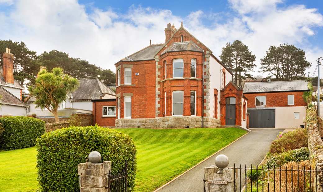 Bridetree WellHoly well · 290 yd
 St. Catherines WellHoly well · 415 yd
 Chapel FarmMemorial · 1059 yd
 Orlynn ParkMemorial · 1072 yd
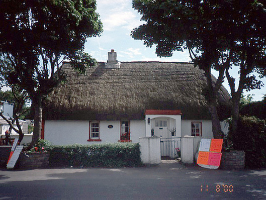 Clay Cottagehouse · 1194 yd
 pier/jettypier/jetty · 1254 yd
 The Birds of Rogerstown EstuaryVisitor information · 1754 yd
 Turvey Allotments and Nature ReserveNature reserve · 1.3 mi
 Turvey HouseCastle, tower house · 1.3 mi
 Roseville Business ParkVisitor information · 1.7 mi
 Newbridge House and DemesneHeritage attraction · 1.9 mi
 TowerCastle, tower house · 2.0 mi
Other information
Photo: Credit not shown in the picture search · Rights wording not checked; contact us if this picture should be removed