What is recorded here
On an E-facing slope on the W bank of the River Nore. Human remains discovered during quarrying in a sandpit in 1971. Bone was exposed over an area c. 35m x 50m. Four graves were excavated consisting of unlined shallow pits in the surface of the gravel deposit, aligned E–W. Each grave contained a single extended inhumation and some contained other disarticulated bones (in all, the remains of four males and two females were found). A small, tanged, iron knife was found alongside the left femur with the finger bones close to it in one of the graves containing a male. Radiocarbon dating yielded a date of 1576+/- 35 BP or AD 413-561. (Cahill and Sikora 2011, vol. 2, 73-5)
Compiled by: Mary Tunney
Date of upload: 6 February 2013
A Neolithic inhumation burial; dating to the 4th–3rd millennium BCE. Its significance lies in providing evidence of early agricultural communities and burial practices in the River Nore region.
The monument record does not grant public access. Check the route and ask the landowner before entering private land.
- What survives
- Recorded monument
Places near here
 Enclosure in Kilree (knocktopher By.)Enclosure · 195 yd
 Church (in ruins)Church · 604 yd
 O'Gorman's Lane LoopWalking route · 982 yd
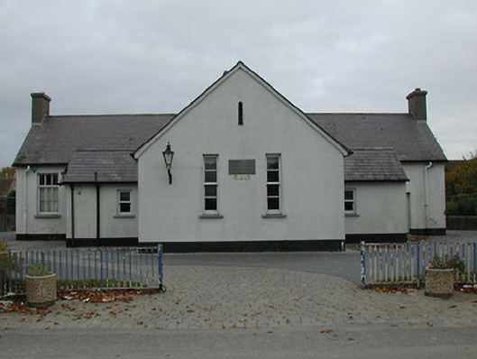 Bennettsbridge National Schoolschool · 1016 yd
 Time CapsuleMemorial · 1052 yd
 Concentric enclosure in WallsloughConcentric enclosure · 1254 yd
 Dunbell Big RingfortWood · 1406 yd
 Castle (in ruins)Castle, unclassified · 1.1 mi
 CastleCastle, unclassified · 1.2 mi
 Kilkenny AirsoftHeritage attraction · 1.3 mi
 Black WalnutBlack Walnut · 1.4 mi
 Kilbline GraveyardArchaeological place · 2.2 mi