What is recorded here
Situated on the summit of a N-S ridge. When first described in 1969 (SMR file) the earthwork presented as a large ring-barrow consisting of a circular grass-covered area (diam. 38.5m NW-SE) separated by a fosse (Wth of top 6.5m-7.5m; Wth of base 2-2.5m; int. D 0.6-0.7m; ext. D 0.8-0.9m) from an outer earthen bank (Wth of base 3-5.8m; ext. H 0.5m at NW to 1.2m at SE).
A large subrectangular pit (dims 2.15m plus N-S; 1.1-1.3m E-W; D 035-0.45m plus) in the N interior of the visible enclosure was marked by a globular stone (diam. of base 1.5m; diam. of top 0.94m; visible H 0.63m) on the surface. At the S end of the pit the top and front parts of a human skull and some animal bones on a bed of charcoal were beneath a layer of reddened clay, possibly ochre. This was below a sandy clay, which in turn was beneath a burnt stone layer. The skull produced a C14 date of 100 BC to AD 130 (Newman 1993d, 22). (Newman 1993; 1993c, 16-17)
Compiled by: Michael Moore
Date of upload; 10 April, 2019
A Neolithic ring-barrow; significant as an early recorded earthwork burial monument in the region.
The monument record does not grant public access. Check the route and ask the landowner before entering private land.
- What survives
- Recorded monument
Places near here
 Raffin FortArchaeological place · 15 yd
 Enclosure in RaffinEnclosure · 31 yd
 Headstown ForestForest · 1.1 mi
 Peters ChurchChurch · 1.1 mi
 HeadstownMountain / peak · 1.2 mi
 Castletown FortCastle, motte and bailey · 1.3 mi
 Drakerath CastleCastle, unclassified · 1.3 mi
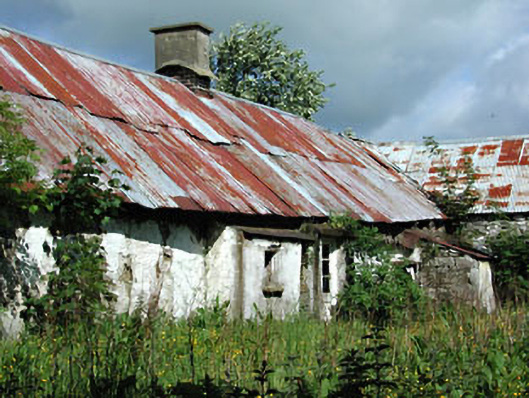 farm housefarm house · 1.5 mi
 Fox CovertWood · 1.7 mi
 Ugly HillMountain / peak · 2.1 mi
 Nobber GreenwayMemorial · 2.2 mi
 Owenroe and Moynalty DrainageMemorial · 2.3 mi