What is recorded here
Twenty-five metres south of a ditch-barrow, four shallow graves held the dead: three aligned east-west in one cut, and a fourth set slightly apart to the east, ringed with small rounded stones. The motorway came later; the stones and alignment came first, marking someone worth separating from the group. Whether that person was a leader, a stranger or simply beloved is no longer certain, but the stones still suggest the difference mattered.
New monument uncovered during excavation by Eamonn Cotter under licence number 03E0461 in advance of the M7 Heath-Mayfield motorway scheme.
Approx. 25m to the S of the ditch-barrow (LA008-042) four human inhumations were found. Three were in a single, shallow grave and were aligned E-W. The fourth was c. 15m to the E and was aligned NE-SW. It too was in a shallow grave, but a setting of small rounded stones had been placed around it (Bennett 2006, 293-4).
Compiled by: Caimin O'Brien
Date of upload: 17 December 2007
A Neolithic ditch-barrow burial; dates to the early to middle Neolithic period (c. 4000–3500 BCE). Its proximity to other known monuments suggests it may be part of a wider ritual or funerary landscape.
The monument record does not grant public access. Check the route and ask the landowner before entering private land.
- What survives
- Recorded monument
Places near here
 Enclosure in MorettEnclosure · 1 yd
 Morett Castle (in ruins)House, fortified house · 381 yd
 Morett Church (in Ruins)Church · 511 yd
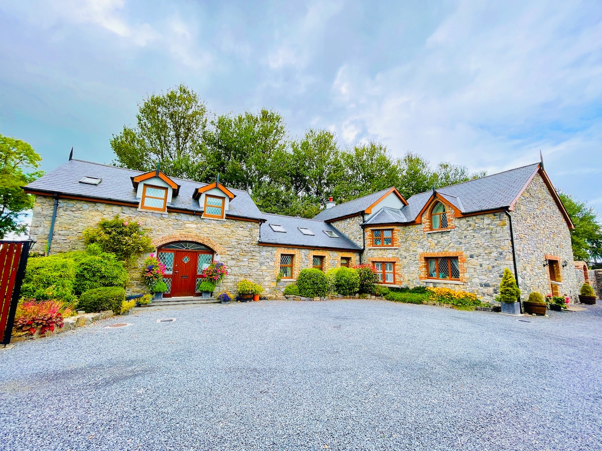 Rathnalulagh (Site of)Fairy fort / ringfort · 625 yd
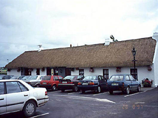 farm housefarm house · 1.0 mi
 Pedunculate OakPedunculate Oak · 1.1 mi
 Coolbanagher Castle (ruins)Castle · 1.4 mi
 European YewEuropean Yew · 1.9 mi
 Emo CourtHeritage attraction · 2.0 mi
 Rock of DunamaseCastle · 3.2 mi
 Rock of Dunamase InformationVisitor information · 3.3 mi
 Friary (in Ruins) GraveyardReligious house, unclassified · 4.2 mi