What is recorded here
Kilree holds a truncated east-west grave beside a medieval square enclosure, waiting for the road to reveal whether modern debris marked a recent loss or merely contaminated an older hole. The field boundaries cut through the burial, suggesting people walked across that exact spot for generations before engineers opened it.
Excavated in 2007/8 in advance of the N9/N10 Kilcullen to Waterford road scheme (Licence no. E3730). Situated just outside the SSE corner of a large medieval square enclosure (KK024-127----) that superimposed a double ring-ditch (KK024-126----). The burial was orientated E-W and had been truncated by field boundaries. Two pieces of modern pottery and a piece of modern iron were found in the fill of the grave suggesting a late date for the burial. (Whitty and Lynch 2009; Lynch 2010, 235, no. 885)
Compiled by: Mary Tunney
Date of upload: 12 November 2013
A Neolithic burial, likely associated with a passage tomb tradition; its location beneath a medieval enclosure suggests long-term ritual use of the site.
The monument record does not grant public access. Check the route and ask the landowner before entering private land.
- What survives
- Recorded monument
Places near here
 Enclosure in Kilree (knocktopher By.)Enclosure · 21 yd
 Church (in ruins)Church · 423 yd
 O'Gorman's Lane LoopWalking route · 805 yd
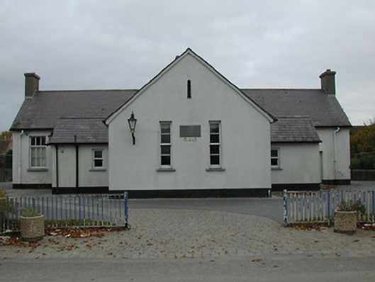 Bennettsbridge National Schoolschool · 808 yd
 Time CapsuleMemorial · 843 yd
 Concentric enclosure in WallsloughConcentric enclosure · 1448 yd
 Dunbell Big RingfortWood · 1530 yd
 Castle (in ruins)Castle, unclassified · 1.1 mi
 CastleCastle, unclassified · 1.3 mi
 Black WalnutBlack Walnut · 1.4 mi
 Kilkenny AirsoftHeritage attraction · 1.5 mi
 Kilbline GraveyardArchaeological place · 2.1 mi