What is recorded here
Nine metres northwest of the round tower on Inis Cealtra, buried bodies wait beneath soil that radiocarbon dating places between the eighth and tenth centuries. The dead likely belonged to the earthen church nearby, suggesting a community that lived, worshipped and died in close proximity on the island. Excavations in the 1970s exposed the remains, while later analysis sharpened the timeline. The distance between tower and grave is small enough to walk in seconds, yet the centuries stretched across that space remain vast.
Situated c. 9m NW of the round tower (CL029-009010-) on Inis Cealtra. Excavations in the 1970s (licence no. E000180) revealed burials in this area (de Paor 2013), possibly linked to the earthen church (CL029-009139-). Post-excavation work in 2015 yielded radiocarbon dates of Cal AD 777-992 (UBA-27100) and Cal AD 725-979 (UBA-27101). (Seaver and O’Sullivan 2015, 11-13, 34)
Compiled by: Mary Tunney
Date of upload: 19 July 2016
The monument record does not grant public access. Check the route and ask the landowner before entering private land.
- What survives
- Recorded monument
Places near here
 Enclosure in Inishcaltra OR Holy IslandEnclosure · 43 yd
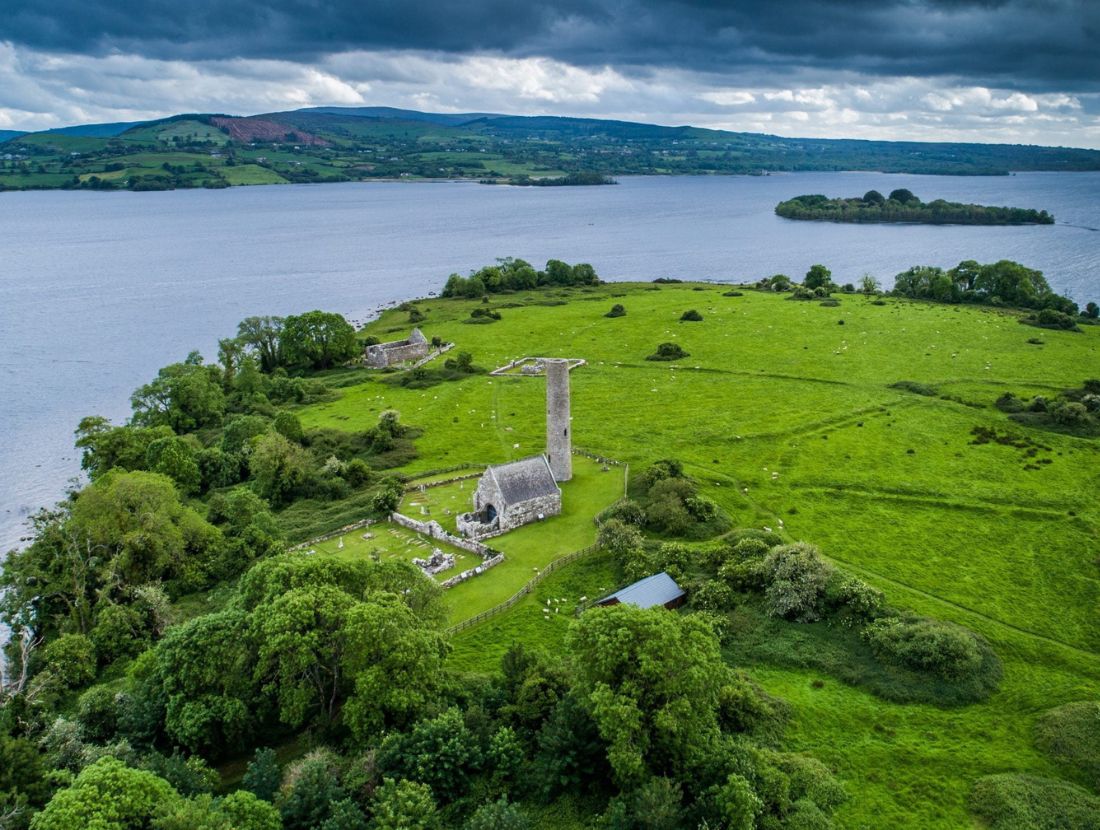 Baptism ChurchChurch · 48 yd
 Inishcaltra Monastic SiteArchaeological place · 72 yd
 IndicatedChurch · 110 yd
 Inishcaltra or Holy IslandIslet · 120 yd
 Pedunculate OakPedunculate Oak · 1494 yd
 The MazeHeritage attraction · 1.3 mi
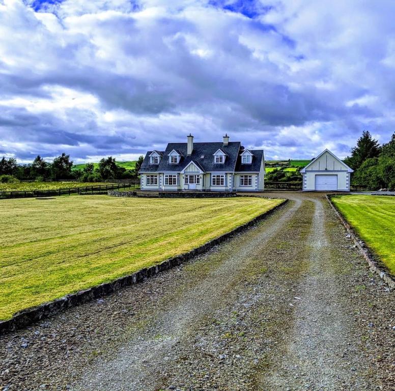 Scarriff BayBay · 1.6 mi
 Bawn in Caher (tulla Lower By.)Bawn · 1.6 mi
 Castle BaunCastle · 1.8 mi
 Cloonoolia BayBay · 1.8 mi
 Aughinish WoodForest · 1.8 mi