What is recorded here
Grange holds one buried body beside its neighbours, marking the hill as a graveyard rather than a empty field. The rectangular pit aligns east-west and may have worn a stone lining, giving the dead a made shape instead of a common hollow. That small craft suggests the person mattered enough to be set apart, even if no name has reached us.
A single burial was identified through test-excavation (Licence no. 06E0799) SW and downslope of other burials (DU005-157----). Aligned east-west the grave cut is rectangular in plan and possibly stone lined (Frazer 2007, 26).
Compiled by: Christine Baker
Date of upload: 2 February 2015
A single rectangular grave cut, possibly stone-lined and aligned east-west, likely dates to the Early Christian period; its association with nearby burials suggests a local cemetery or ecclesiastical site.
The monument record does not grant public access. Check the route and ask the landowner before entering private land.
- What survives
- Recorded monument
Places near here
 Burial in Grange (balrothery East By., Holmpatrick Ed)Burial · 63 yd
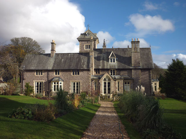 Enclosure in Grange (balrothery East By., Holmpatrick Ed)Enclosure · 317 yd
 KilnKiln, corn-drying · 424 yd
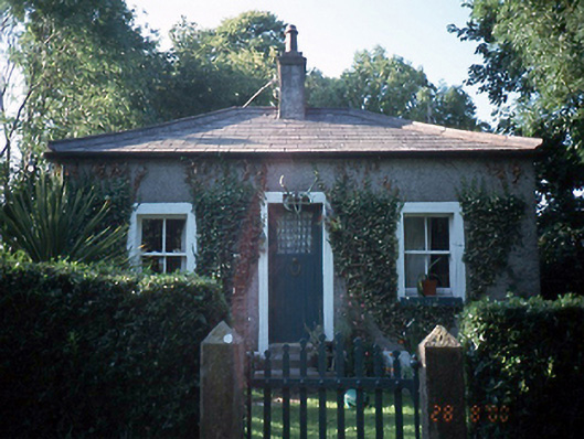 Milverton Hallgate lodge · 459 yd
 Flat cemetery in BalcunninFlat cemetery · 1009 yd
 BBQ AreaPicnic place · 1139 yd
 Black Hill NurseryWood · 1318 yd
 Ardgillan Castle and DemesneHeritage attraction · 1714 yd
 New PlantationWood · 1.1 mi
 Man O'War HillMountain / peak · 1.2 mi
 Flat cemetery in DarcystownFlat cemetery · 1.4 mi
 Balrothery Heritage CentreMuseum · 1.7 mi