What is recorded here
Derryconnery holds Lug na Marbh, a hollow named for the dead. The name still belongs to the land even though no grave has been found to match it. Whoever first spoke it may have pointed to a lost trench, a buried child or a hole the rain keeps open. The hollow waits beneath ordinary soil, holding its deadline without shame.
B. Ó'Ciobháin recorded the placename 'lug na marbh' (hollow of the dead) in this townland (SMR file). This placename may refer to a burial place but these burials have not been precisely located.
The above description is derived from the published 'Archaeological Inventory of County Kerry. Volume I: South-West Kerry' (Dublin: Stationery Office, 2009). In certain instances the entries have been revised and updated in the light of recent research.
Date of upload: 30 May 2011
The monument record does not grant public access. Check the route and ask the landowner before entering private land.
- What survives
- Recorded monument
Places near here
 KnockateeMountain / peak · 810 yd
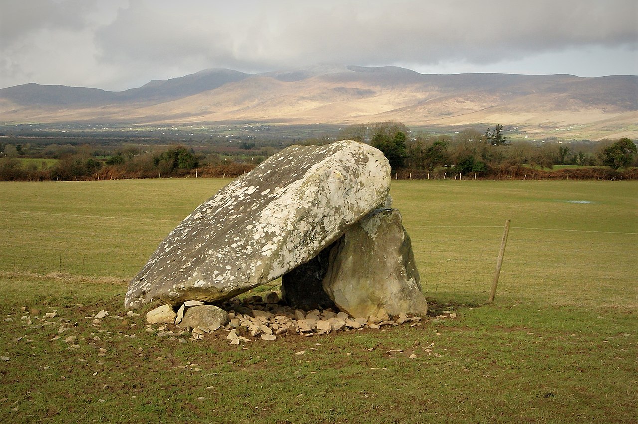 Megalithic structure in Lehid (glanarought By.)Megalithic structure · 907 yd
 Habitat of DerreeniesNature reserve · 980 yd
 Derreen Househouse · 1058 yd
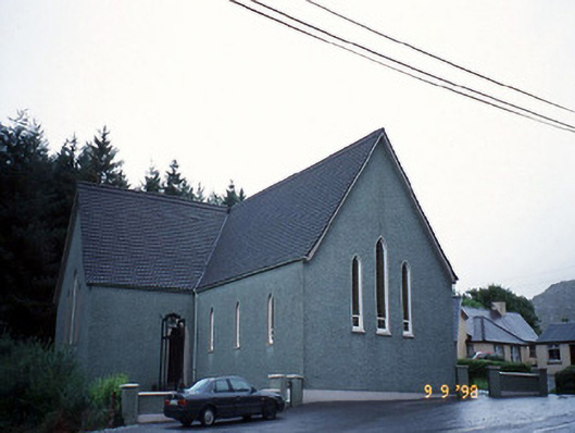 Saint Killian's Catholic Churchchurch/chapel · 1075 yd
 Soft Tree-fernSoft Tree-fern · 1078 yd
 Radial-stone enclosure in Cummers WestRadial-stone enclosure · 1176 yd
 DrombohillyMountain / peak · 1.0 mi
 Crane IslandIslet · 2.7 mi
 Duck RockIslet · 2.7 mi
 DroppaCliff · 3.6 mi
 Lackeen PointHeadland · 5.1 mi