What is recorded here
On an esker. This monument consists of three elongated mounds, of similar size (L c. 3.5m H c. 0.55), forming a triangle (Claffey 1983, 151). According to local tradition, they are the graves of 'chieftains' killed in a dispute over land (ibid., 105).
The above description is derived from the published 'Archaeological Inventory of County Galway Vol. II - North Galway'. Compiled by Olive Alcock, Kathy de hÓra and Paul Gosling (Dublin: Stationery Office, 1999).
Date of upload: 05 August 2010
Bronze Age cairn burials; likely 11th–9th century BCE. The triangular arrangement and esker location suggest ritual significance, possibly linked to early elite burials or territorial markers.
The monument record does not grant public access. Check the route and ask the landowner before entering private land.
- What survives
- Recorded monument
Places near here
 Enclosure in BrierfieldEnclosure · 1.0 mi
 IndicatedEnclosure · 1.2 mi
 CastleCastle, unclassified · 1.4 mi
 HawthornHawthorn · 1.8 mi
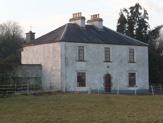 Lakeview Househouse · 2.4 mi
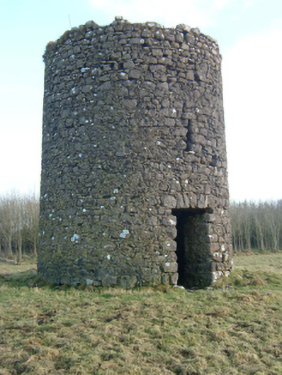 mill (wind)mill (wind) · 2.5 mi
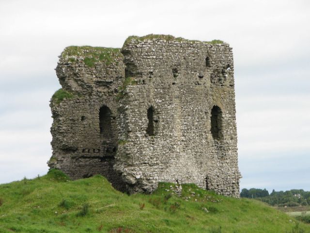 Moylough CastleCastle · 2.7 mi
 SycamoreSycamore · 3.4 mi
 Knockmoy AbbeyHeritage attraction · 4.9 mi
 Menlough IRAMemorial · 5.0 mi
 Mass RockNamed rock · 12 mi
 Enclosure in Mullaghmore SouthEnclosure · 1.4 mi