What is recorded here
To S of road and just above HWM on inner reaches of Cloonisle Bay. They consist of three or four rectangular graves (L c. 1.8m, Wth c. 0.6m) aligned N-S, each of which is defined by head- and foot-stones (info. T. Robinson). Not visited.
The above description is derived from the published 'Archaeological Inventory of County Galway Vol. I - West Galway'. Compiled by Paul Gosling (Dublin: Stationery Office, 1993).
Date of upload: 05 August 2010
Rectangular megalithic graves, likely dating to the Neolithic or early Bronze Age. Their alignment and construction suggest a formal burial practice, indicating social structure or ritual significance in the local prehistoric community.
The monument record does not grant public access. Check the route and ask the landowner before entering private land.
- What survives
- Recorded monument
Places near here
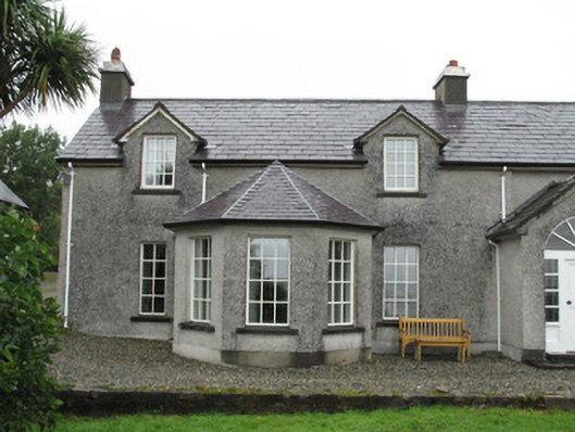 Doon Househouse · 1620 yd
 boathouseboathouse · 1747 yd
 Cashel HillMountain / peak · 1.2 mi
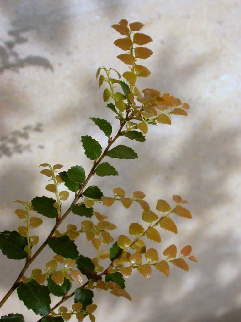 Myrtle beechMyrtle beech · 1.2 mi
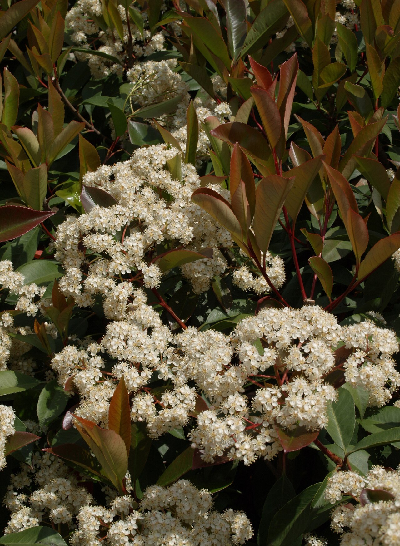 Chinese photiniaChinese photinia · 1.2 mi
 Holy well in ToombeolaHoly well · 1.4 mi
 Cashel FortEnclosure · 1.6 mi
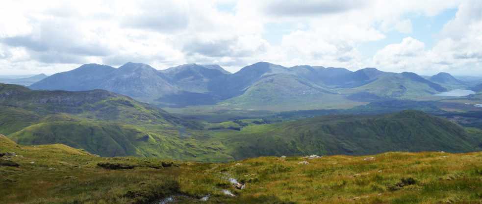 An tOileán Gorm ThuaidhIslet · 2.2 mi
 Oileán CruachnaiteIslet · 2.2 mi
 Lettershinna HillMountain / peak · 3.1 mi
 Roundstone Bay & Island ToursHeritage attraction · 4.0 mi
 Alexander NimmoMemorial · 4.1 mi